Runway & Layout

Airport Specifications
ICAO code
CCR6
Airport class
Heliport
Scheduled service
Yes
Served city
Campbell River
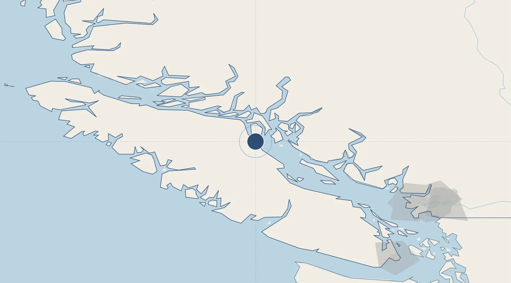
Location
Nearby Logistics Neighbours
Airports
Cities
- 1Campbell River3 km
- 2Sayward58 km
- 3Denman Island64 km
- 4Lantzville123 km
- 5Ucluelet125 km
Ports
- 1Duncan Bay3 km
- 2Comox Harbor49 km
- 3Gold River73 km
- 4Port Alberni96 km
- 5Tahsis101 km
Trade Zones
- 1FTZ Vancouver Island178 km
- 2FTZ No. 128 Whatcom County239 km
- 3FTZ No. 129 Bellingham244 km
- 4FTZ No. 085 Everett318 km
- 5FTZ No. 173 Grays Harbor327 km
DatabookThe Record of Consolidated Knowledge
Canada beyond logistics?