Small airport · Canada
Ogoki Post AirportCYKP
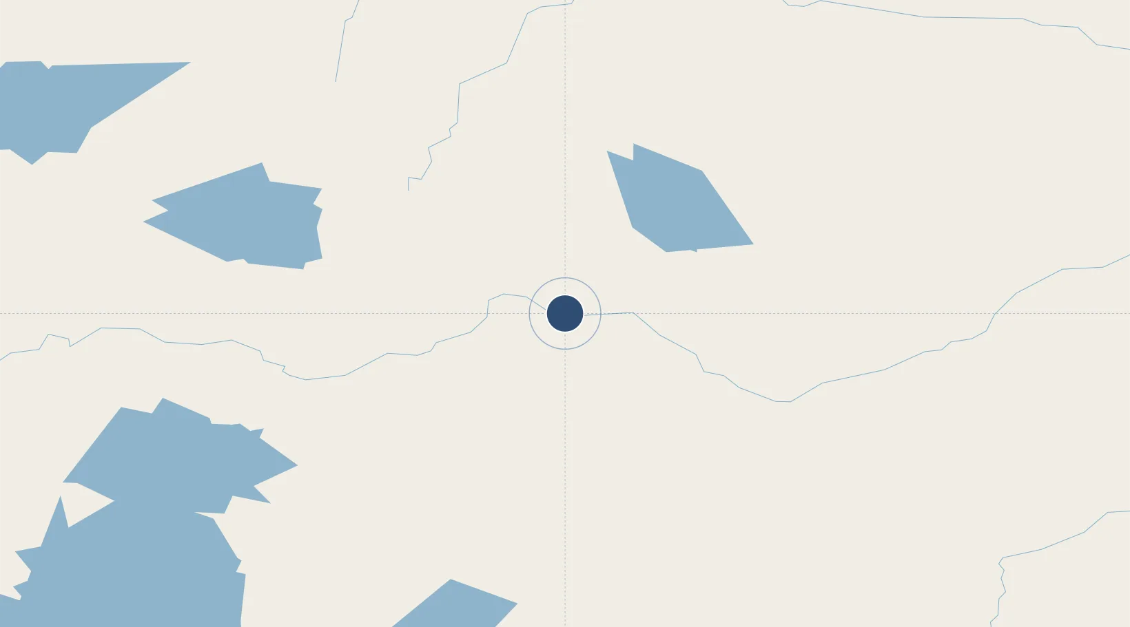
51.6586°, -85.9017°
3,500 ft
Longest runway
1
Runways
594 ft
Elevation
Runway & Layout

Runways · 1
| Runway | Dimensions | Surface | True heading | Lit |
|---|---|---|---|---|
| 09/27 | 3,500 × 100ft | GRVL | — | — |
Airport Specifications
IATA code
YOG
ICAO code
CYKP
Airport class
Small airport
Scheduled service
Yes
Runway surface
GRVL
Served city
Ogoki Post
Location
Nearby Logistics Neighbours
Airports
- 1Fort Hope Airport139 km
- 2Lansdowne House Airport152 km
- 3Nakina Airport173 km
- 4Webequie Airport176 km
- 5Summer Beaver Airport215 km
Cities
- 1Lansdowne149 km
- 2Wellington268 km
- 3Rossport335 km
- 4Red Rock345 km
- 5Moonbeam370 km
Ports
- 1Heron Bay336 km
- 2Michipicoten417 km
- 3Thunder Bay433 km
- 4Houghton541 km
- 5Goulais Bay557 km
Trade Zones
- 1FTZ No. 016 Sault Ste. Marie585 km
- 2FTZ No. 051 Duluth713 km
- 3FTZ No. 167 Brown County820 km
- 4FTZ No. 119 Minneapolis-St. Paul920 km
- 5FTZ No. 019 Omaha932 km
DatabookThe Record of Consolidated Knowledge
Canada beyond logistics?