Medium airport · Canada
Kenora AirportCYQK
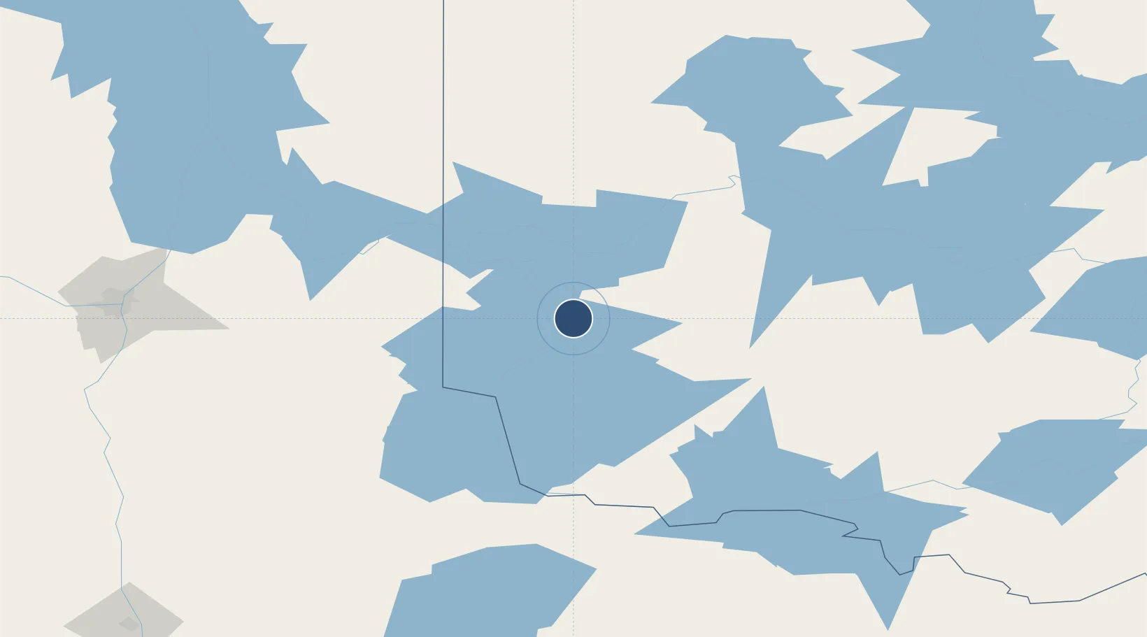
49.7883°, -94.3631°
5,800 ft
Longest runway
1
Runways
1,332 ft
Elevation
Runway & Layout

Radio Frequencies
CNTR
124 MHz
WINNIPEG CNTR
FSS
122.2 MHz
RDO
RCO
126.7 MHz
WINNIPEG RDO
RDO
122.2 MHz
MF
VDF
122.2 MHz
VHF/DF
Navaids
VBI VORTAC Sioux Narrows 115.20 MHz
YQK NDB Kenora 326 kHz
Runways · 1
| Runway | Dimensions | Surface | True heading | Lit |
|---|---|---|---|---|
| 08/26 | 5,800 × 150ft | Asphalt | 077° | ✓ |
Airport Specifications
IATA code
YQK
ICAO code
CYQK
Airport class
Medium airport
Scheduled service
Yes
Runway surface
Asphalt
Served city
Kenora
Location
Nearby Logistics Neighbours
Airports
- 1Dryden Regional Airport116 km
- 2Baudette International Airport119 km
- 3Lac du Bonnet Airport130 km
- 4Fort Frances Municipal Airport143 km
- 5Red Lake Airport148 km
Cities
- 1Hadashville112 km
- 2Williams121 km
- 3Sprague125 km
- 4Emo136 km
- 5Roseau147 km
Ports
- 1Two Harbors368 km
- 2Grand Marais372 km
- 3Duluth375 km
- 4Superior380 km
- 5Thunder Bay404 km
Trade Zones
- 1FTZ No. 259 Koochiching County168 km
- 2Winnipegs Centreport Canada199 km
- 3FTZ No. 103 Grand Forks293 km
- 4FTZ No. 051 Duluth371 km
- 5FTZ No. 267 Fargo379 km
DatabookThe Record of Consolidated Knowledge
Canada beyond logistics?