Transport Functions
Rail
Road
Hub Profile
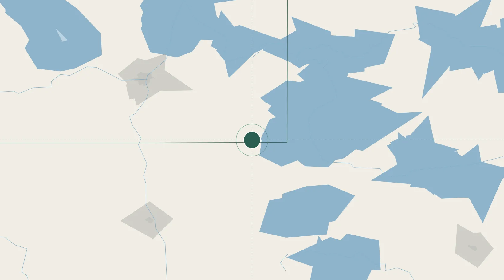
Place type
Populated place
Region
Manitoba
Time zone
America/Winnipeg
Elevation
324 m
Location
Nearby Logistics Neighbours
Cities
- 1Roseau24 km
- 2Greenbush55 km
- 3Williams59 km
- 4Hadashville75 km
- 5La Broquerie83 km
Ports
- 1Duluth365 km
- 2Superior370 km
- 3Two Harbors372 km
- 4Grand Marais418 km
- 5Bayfield437 km
Airports
Trade Zones
- 1FTZ No. 259 Koochiching County129 km
- 2Winnipegs Centreport Canada144 km
- 3FTZ No. 103 Grand Forks168 km
- 4FTZ No. 267 Fargo262 km
- 5FTZ No. 051 Duluth358 km
DatabookThe Record of Consolidated Knowledge
Canada beyond logistics?