Medium airport · United States
Baudette International AirportKBDE
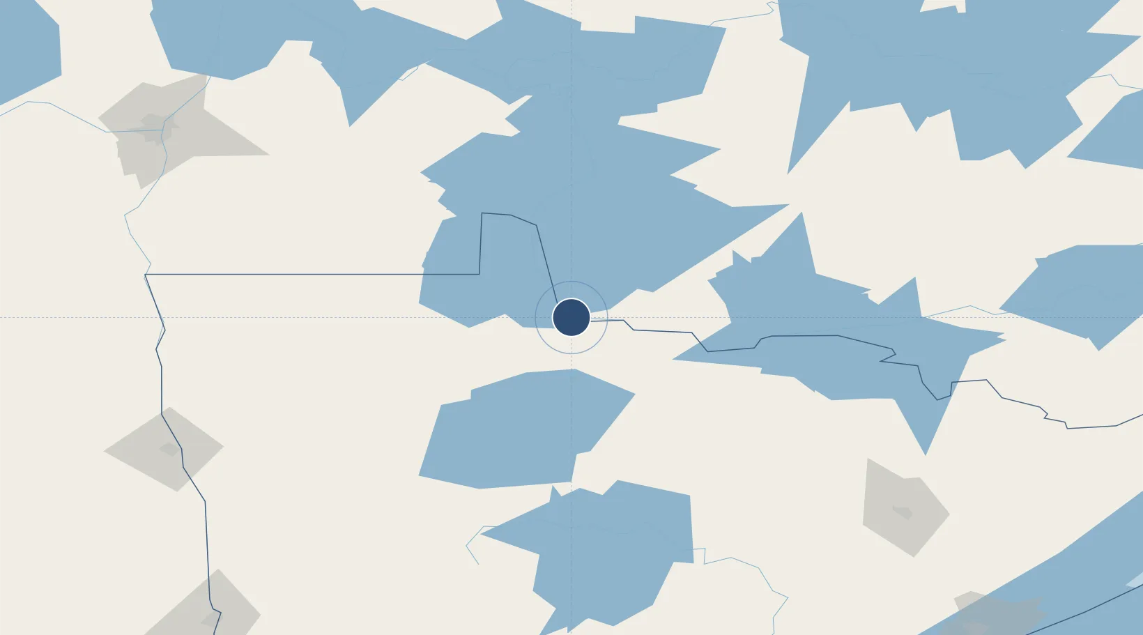
48.7284°, -94.6122°
6,000 ft
Longest runway
2
Runways
1,086 ft
Elevation
Runway & Layout

Radio Frequencies
ASOS
126.775 MHz
RDO
122.4 MHz
PRINCETON RDO
UNIC
122.8 MHz
CTAF/UNICOM
Navaids
BDE VOR-DME Baudette 111.60 MHz
Runways · 2
| Runway | Dimensions | Surface | True heading | Lit |
|---|---|---|---|---|
| 13W/31W | 6,000 × 120ft | Water | — | — |
| 12/30 | 5,498 × 100ft | Asphalt | 121° | ✓ |
Airport Specifications
IATA code
BDE
ICAO code
KBDE
Airport class
Medium airport
Scheduled service
No
Runway surface
Water
Served city
Baudette
Location
Nearby Logistics Neighbours
Airports
- 1Fort Frances Municipal Airport86 km
- 2Falls International Airport91 km
- 3Kenora Airport119 km
- 4Thief River Falls Regional Airport138 km
- 5Bemidji Regional Airport138 km
Cities
- 1Williams25 km
- 2Emo59 km
- 3Sprague83 km
- 4Roseau85 km
- 5Fort Frances90 km
Ports
- 1Duluth288 km
- 2Two Harbors292 km
- 3Superior292 km
- 4Grand Marais335 km
- 5Bayfield356 km
Trade Zones
- 1FTZ No. 259 Koochiching County55 km
- 2FTZ No. 103 Grand Forks210 km
- 3Winnipegs Centreport Canada224 km
- 4FTZ No. 267 Fargo273 km
- 5FTZ No. 051 Duluth281 km
DatabookThe Record of Consolidated Knowledge
United States beyond logistics?