Transport Functions
Road
Multimodal
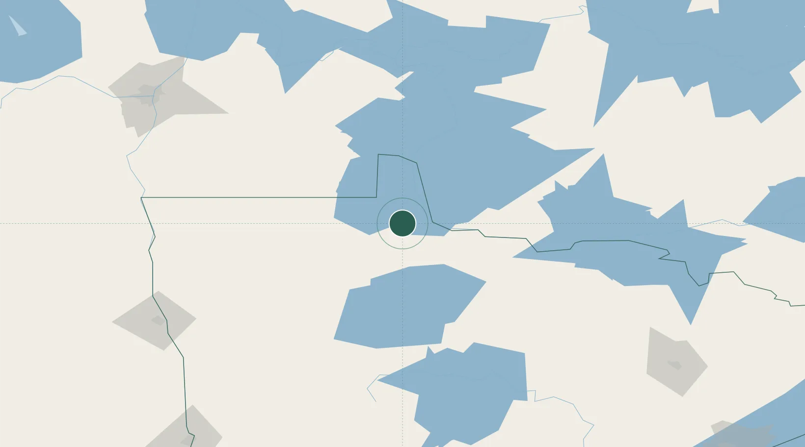
Hub Profile
Place type
Populated place
Region
Minnesota
Population
185
Time zone
America/Chicago
Elevation
351 m
Location
Nearby Logistics Neighbours
Cities
- 1Sprague59 km
- 2Roseau60 km
- 3Emo84 km
- 4Greenbush92 km
- 5Fort Frances115 km
Ports
- 1Duluth308 km
- 2Superior312 km
- 3Two Harbors314 km
- 4Grand Marais360 km
- 5Bayfield378 km
Airports
- 1Baudette International Airport25 km
- 2Fort Frances Municipal Airport111 km
- 3Falls International Airport116 km
- 4Thief River Falls Regional Airport120 km
- 5Kenora Airport121 km
Trade Zones
- 1FTZ No. 259 Koochiching County72 km
- 2FTZ No. 103 Grand Forks190 km
- 3Winnipegs Centreport Canada202 km
- 4FTZ No. 267 Fargo261 km
- 5FTZ No. 051 Duluth300 km
DatabookThe Record of Consolidated Knowledge
United States beyond logistics?