Medium airport · Canada
Dryden Regional AirportCYHD
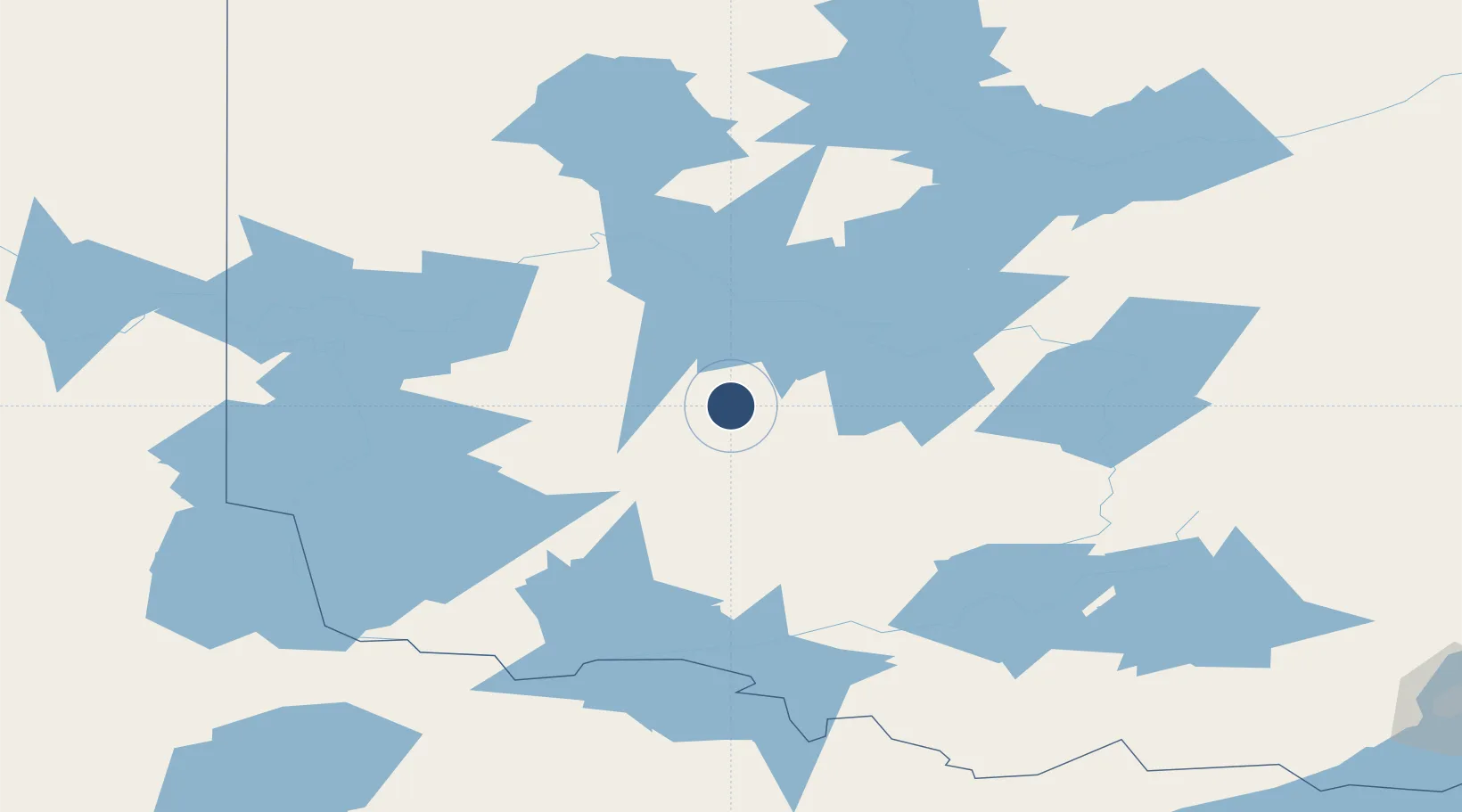
49.8317°, -92.7442°
5,993 ft
Longest runway
1
Runways
1,354 ft
Elevation
Runway & Layout

Radio Frequencies
A/G
122.9 MHz
MIN NATL RESOURCES
CNTR
132.2 MHz
WINNIPEG CNTR
RCO
122.1 MHz
WINNIPEG RDO
RDO
122.1 MHz
MF
Navaids
IHD DME Dryden Regional 109.70 MHz
YHD NDB Dryden Regional 413 kHz
ZHD NDB Barclay 399 kHz
Runways · 1
| Runway | Dimensions | Surface | True heading | Lit |
|---|---|---|---|---|
| 12/30 | 5,993 × 150ft | Asphalt | 114° | ✓ |
Airport Specifications
IATA code
YHD
ICAO code
CYHD
Airport class
Medium airport
Scheduled service
No
Runway surface
Asphalt
Served city
Dryden
Location
Nearby Logistics Neighbours
Airports
- 1Sioux Lookout Airport68 km
- 2Ignace Municipal Airport86 km
- 3Kenora Airport116 km
- 4Fort Frances Municipal Airport140 km
- 5Atikokan Municipal Airport142 km
Cities
- 1Fort Frances145 km
- 2Red Lake156 km
- 3Emo157 km
- 4Williams199 km
- 5Cook220 km
Ports
- 1Grand Marais291 km
- 2Thunder Bay301 km
- 3Two Harbors323 km
- 4Duluth344 km
- 5Superior348 km
Trade Zones
- 1FTZ No. 259 Koochiching County207 km
- 2Winnipegs Centreport Canada315 km
- 3FTZ No. 051 Duluth343 km
- 4FTZ No. 103 Grand Forks388 km
- 5FTZ No. 267 Fargo455 km
DatabookThe Record of Consolidated Knowledge
Canada beyond logistics?