Transport Functions
Rail
Road
Hub Profile
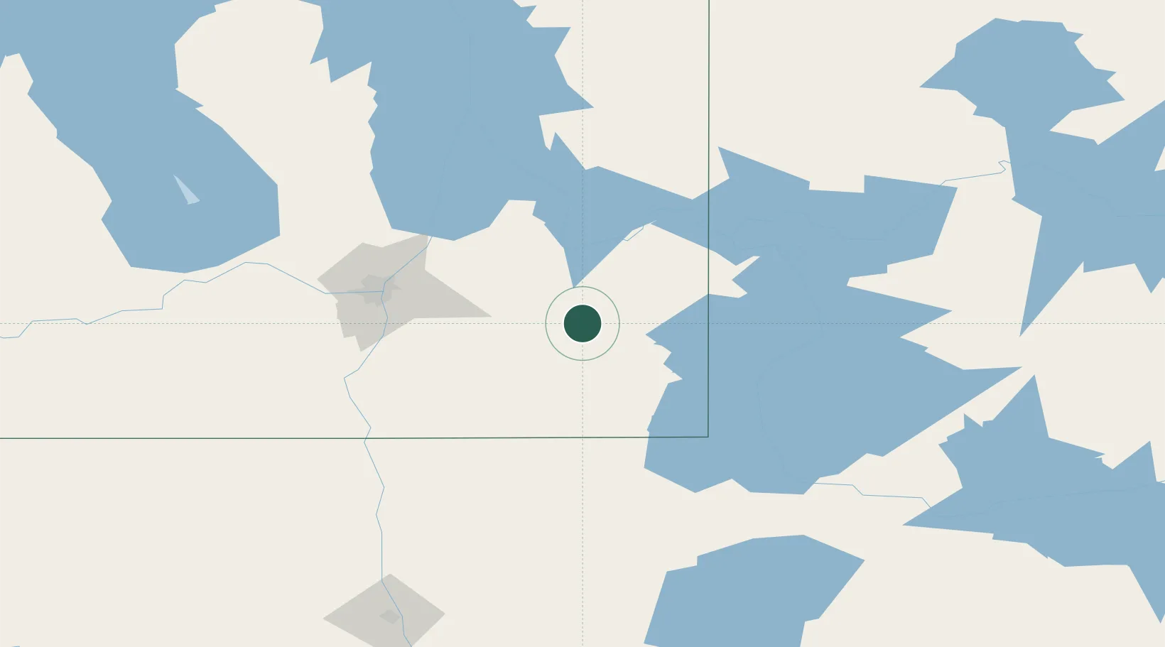
Place type
Populated place
Region
Manitoba
Time zone
America/Winnipeg
Elevation
300 m
Location
Nearby Logistics Neighbours
Cities
- 1La Broquerie47 km
- 2Sainte-Anne-des-Chênes53 km
- 3Anola57 km
- 4Steinbach58 km
- 5Beauséjour59 km
Ports
- 1Duluth430 km
- 2Two Harbors433 km
- 3Superior435 km
- 4Grand Marais462 km
- 5Bayfield495 km
Airports
Trade Zones
- 1Winnipegs Centreport Canada91 km
- 2FTZ No. 259 Koochiching County195 km
- 3FTZ No. 103 Grand Forks217 km
- 4FTZ No. 267 Fargo324 km
- 5FTZ No. 051 Duluth423 km
DatabookThe Record of Consolidated Knowledge
Canada beyond logistics?