Transport Functions
Rail
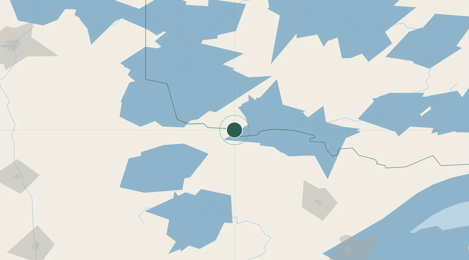
Hub Profile
Place type
Populated place
Region
Ontario
Population
1,204
Time zone
America/Winnipeg
Elevation
338 m
Location
Nearby Logistics Neighbours
Cities
- 1Fort Frances32 km
- 2Williams84 km
- 3Blackduck113 km
- 4Cook121 km
- 5Sprague141 km
Ports
- 1Two Harbors241 km
- 2Duluth243 km
- 3Superior248 km
- 4Grand Marais277 km
- 5Bayfield303 km
Airports
- 1Fort Frances Municipal Airport29 km
- 2Falls International Airport32 km
- 3Baudette International Airport59 km
- 4Kenora Airport136 km
- 5Bemidji Regional Airport148 km
Trade Zones
- 1FTZ No. 259 Koochiching County52 km
- 2FTZ No. 051 Duluth238 km
- 3FTZ No. 103 Grand Forks259 km
- 4Winnipegs Centreport Canada279 km
- 5FTZ No. 267 Fargo306 km
DatabookThe Record of Consolidated Knowledge
Canada beyond logistics?