Medium airport · Canada
Red Lake AirportCYRL
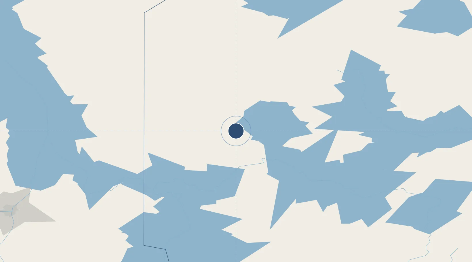
51.0669°, -93.7931°
5,001 ft
Longest runway
1
Runways
1,265 ft
Elevation
Runway & Layout

Radio Frequencies
A/D
135.325 MHz
WINNIPEG CNTR
ATF
122.3 MHz
RCO
122.3 MHz
WINNIPEG RDO
RDO
122.3 MHz
MF
Navaids
RL NDB Red Lake 218 kHz
YRL VOR-DME Red Lake 114.00 MHz
Runways · 1
| Runway | Dimensions | Surface | True heading | Lit |
|---|---|---|---|---|
| 08/26 | 5,001 × 150ft | Asphalt | 081° | ✓ |
Airport Specifications
IATA code
YRL
ICAO code
CYRL
Airport class
Medium airport
Scheduled service
Yes
Runway surface
Asphalt
Served city
Red Lake
Location
Nearby Logistics Neighbours
Airports
- 1Pikangikum Airport85 km
- 2Poplar Hill Airport121 km
- 3Kenora Airport148 km
- 4Slate Falls Airport149 km
- 5Cat Lake Airport155 km
Cities
- 1Red Lake1 km
- 2Pine Falls180 km
- 3Hadashville215 km
- 4Beauséjour223 km
- 5Libau224 km
Ports
- 1Thunder Bay442 km
- 2Grand Marais446 km
- 3Two Harbors477 km
- 4Duluth494 km
- 5Superior498 km
Trade Zones
- 1Winnipegs Centreport Canada270 km
- 2FTZ No. 259 Koochiching County312 km
- 3FTZ No. 103 Grand Forks427 km
- 4FTZ No. 051 Duluth491 km
- 5FTZ No. 267 Fargo523 km
DatabookThe Record of Consolidated Knowledge
Canada beyond logistics?