Transport Functions
Rail
Road
Border Crossing
Hub Profile
Place type
Provincial seat
Region
Minnesota
Population
2,715
Time zone
America/Chicago
Elevation
320 m
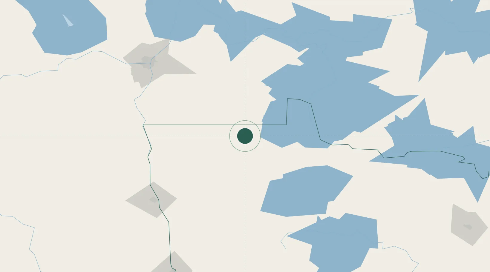
Location
Nearby Logistics Neighbours
Ports
- 1Duluth357 km
- 2Superior362 km
- 3Two Harbors367 km
- 4Grand Marais420 km
- 5Bayfield433 km
Airports
Trade Zones
- 1FTZ No. 259 Koochiching County123 km
- 2FTZ No. 103 Grand Forks146 km
- 3Winnipegs Centreport Canada154 km
- 4FTZ No. 267 Fargo238 km
- 5FTZ No. 051 Duluth349 km
DatabookThe Record of Consolidated Knowledge
United States beyond logistics?