Seaport · Canada

Goulais BayCA345

46.7333°, -84.5000°
1.8 m
Channel depth
Goulais Bay is also a UN/LOCODE logistics hub →

Channel & Berth Profile

SEA LEVEL (CD)CHANNEL BEDChannel · 1.8 mCargo pier · 1.8 mAnchorage · 17.1 m
NGA World Port Index

Pilotage, Tugs & Services

Pilotage compulsoryYES
Tug assistanceNO
Salvage tugsNO
Potable waterYES
MedicalYES
NGA World Port Index

Facilities & Capabilities

Container
Ro-Ro
Liquid bulk
Dry bulk
Oil terminal
Break bulk
Dry dock
Repairs
Bunkering
Rail link
Dangerous cargo
ISPS security
NGA World Port Index

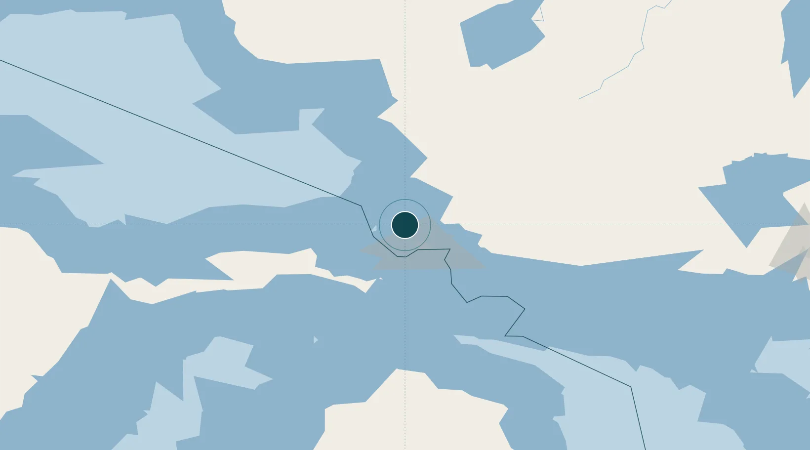
Harbour Specifications

Harbour size
Very Small
NGA World Port Index
Harbour type
Coastal (Natural)
NGA World Port Index
Shelter
Excellent
NGA World Port Index
Water body
Lake Superior; Great Lakes
NGA World Port Index
Overhead limit
No
NGA World Port Index
Pilotage
Yes
NGA World Port Index

Location

Location of CA345
Natural Earth 10m (public domain) · Ontario · CA345 · 46.73, -84.50GoogleOSMYandex

Nearby Logistics Neighbours

Ports
  1. 1Sault Ste Marie27 km
  2. 2Sault Ste Marie28 km
  3. 3Bruce Mines74 km
  4. 4Thessalon89 km
  5. 5Mackinac Island99 km
Nearest neighbours — logibook spatial index (haversine) over the source coordinates
Cities
  1. 1Brimley37 km
  2. 2Echo Bay43 km
  3. 3Kinross52 km
  4. 4Rudyard58 km
  5. 5Brevort90 km
Nearest neighbours — logibook spatial index (haversine) over the source coordinates
Airports
  1. 1Sault Ste Marie Airport28 km
  2. 2Chippewa County International Airport55 km
  3. 3Pellston Regional Airport of Emmet County Airport131 km
  4. 4Welke Airport137 km
  5. 5Wawa Airport139 km
Nearest neighbours — logibook spatial index (haversine) over the source coordinates
Trade Zones
  1. 1FTZ No. 016 Sault Ste. Marie28 km
  2. 2FTZ No. 167 Brown County388 km
  3. 3FTZ No. 189 Kent Ottawa/Muskegon Counties414 km
  4. 4FTZ No. 284 Genesee County417 km
  5. 5FTZ No. 140 Flint418 km
Nearest neighbours — logibook spatial index (haversine) over the source coordinates
DatabookThe Record of Consolidated Knowledge
Canada beyond logistics?
Browse databook

All Sources

Portsthe NGA World Port Index
Public domain (US gov)
AirportsOurAirports
Public domain
LocationsUN/LOCODE
UN/LOCODE — free
Trade Zonesthe World Bank SEZ database
CC BY 4.0
Trade ZonesOpen Zone Map
CC BY
← Canada ports