Medium airport · Canada
Dawson City AirportCYDA
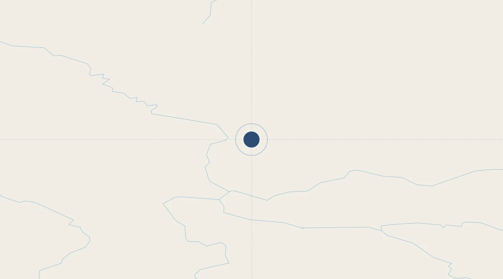
64.0431°, -139.1280°
5,000 ft
Longest runway
1
Runways
1,215 ft
Elevation
Runway & Layout

Radio Frequencies
ATF
122.1 MHz
MANDATORY FREQ
RCO
126.7 MHz
WHITEHORSE RDO
RDO
122.1 MHz
ARPT RDO
Navaids
DA NDB Dawson City 214 kHz
Runways · 1
| Runway | Dimensions | Surface | True heading | Lit |
|---|---|---|---|---|
| 03/21 | 5,000 × 100ft | Concrete | 049° | ✓ |
Airport Specifications
IATA code
YDA
ICAO code
CYDA
Airport class
Medium airport
Scheduled service
Yes
Runway surface
Concrete
Served city
Dawson City
Location
Nearby Logistics Neighbours
Airports
- 1Eagle Airport127 km
- 2Chicken Airport137 km
- 3Mayo Airport167 km
- 4Northway Airport184 km
- 5Beaver Creek Airport201 km
Cities
- 1Valdez490 km
- 2Orca514 km
- 3Cordova517 km
- 4Houston604 km
- 5Herschel Island614 km
Trade Zones
- 1FTZ No. 195 Fairbanks421 km
- 2FTZ No. 108 Valdez491 km
- 3FTZ No. 160 Anchorage631 km
- 4FTZ No. 232 Kodiak1072 km
- 5PrInce George Logistics Park1457 km
DatabookThe Record of Consolidated Knowledge
Canada beyond logistics?