Transport Functions
Multimodal
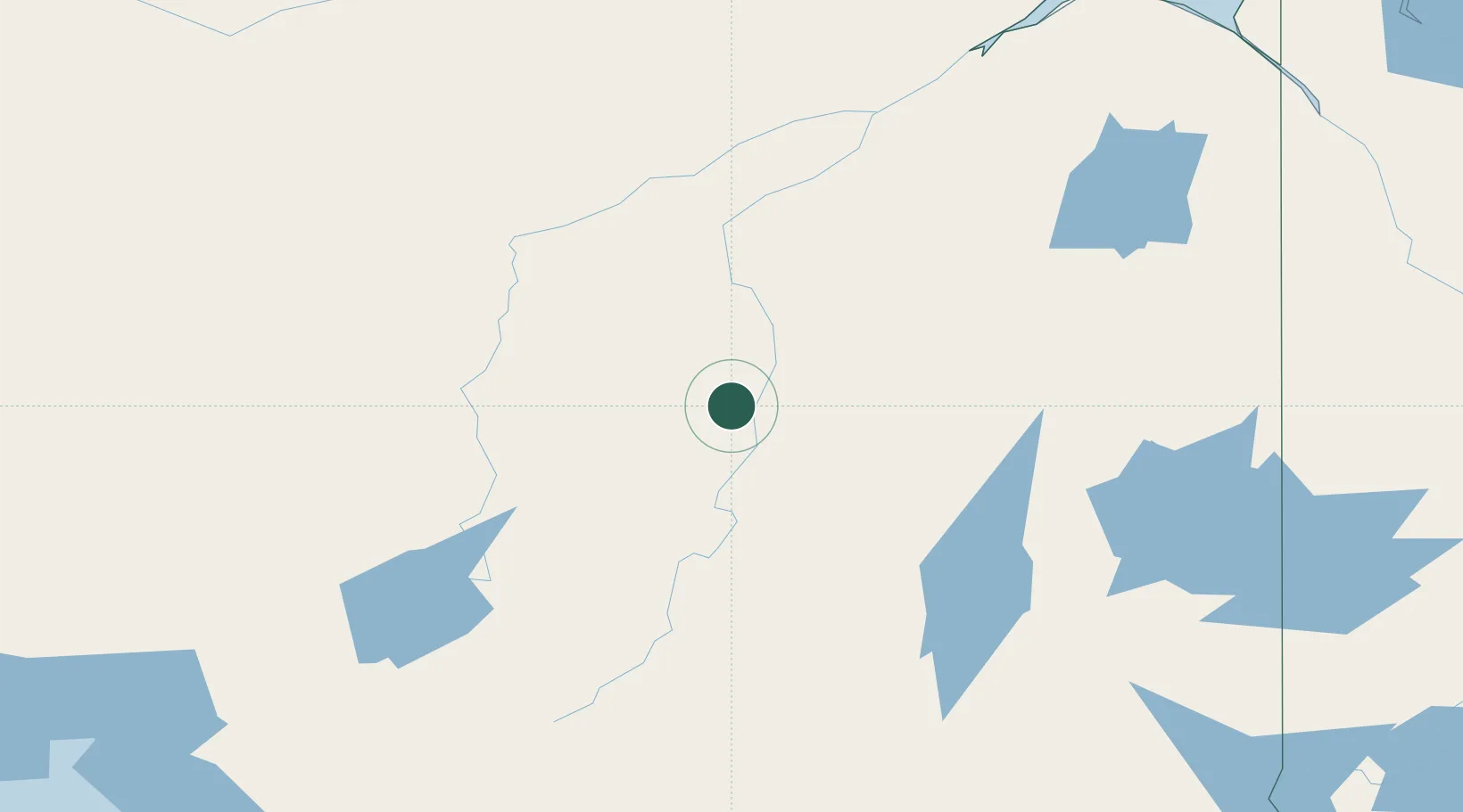
Hub Profile
Place type
Populated place
Region
Ontario
Time zone
America/Toronto
Elevation
238 m
Location
Nearby Logistics Neighbours
Cities
- 1Porcupine117 km
- 2Iroquois Falls124 km
- 3Gulfport217 km
- 4Cartier296 km
- 5Onaping307 km
Ports
- 1Michipicoten253 km
- 2Heron Bay313 km
- 3Goulais Bay338 km
- 4Sault Ste Marie354 km
- 5Sault Ste Marie355 km
Airports
- 1Kapuskasing Airport25 km
- 2Cochrane Airport86 km
- 3Timmins/Victor M. Power102 km
- 4Hearst René Fontaine Municipal Airport119 km
- 5Chapleau Airport190 km
Trade Zones
- 1FTZ No. 016 Sault Ste. Marie359 km
- 2FTZ No. 034 Niagara County707 km
- 3FTZ No. 140 Flint714 km
- 4FTZ No. 167 Brown County714 km
- 5FTZ No. 284 Genesee County718 km
DatabookThe Record of Consolidated Knowledge
Canada beyond logistics?