Channel & Berth Profile
Pilotage, Tugs & Services
Pilotage compulsoryYES
Tug assistanceYES
Salvage tugsNO
Shore powerYES
Potable waterYES
Diesel bunkersYES
MedicalYES
Facilities & Capabilities
Container—
Ro-Ro—
Liquid bulk—
Dry bulk—
Oil terminal—
Break bulk—
Dry dock—
RepairsNO
BunkeringYES
Rail link—
Dangerous cargo—
ISPS security—
Harbour Specifications
Harbour size
Small
Harbour type
River (Natural)
Shelter
Excellent
Water body
Lake Superior; Great Lakes
Overhead limit
Yes
Pilotage
Yes
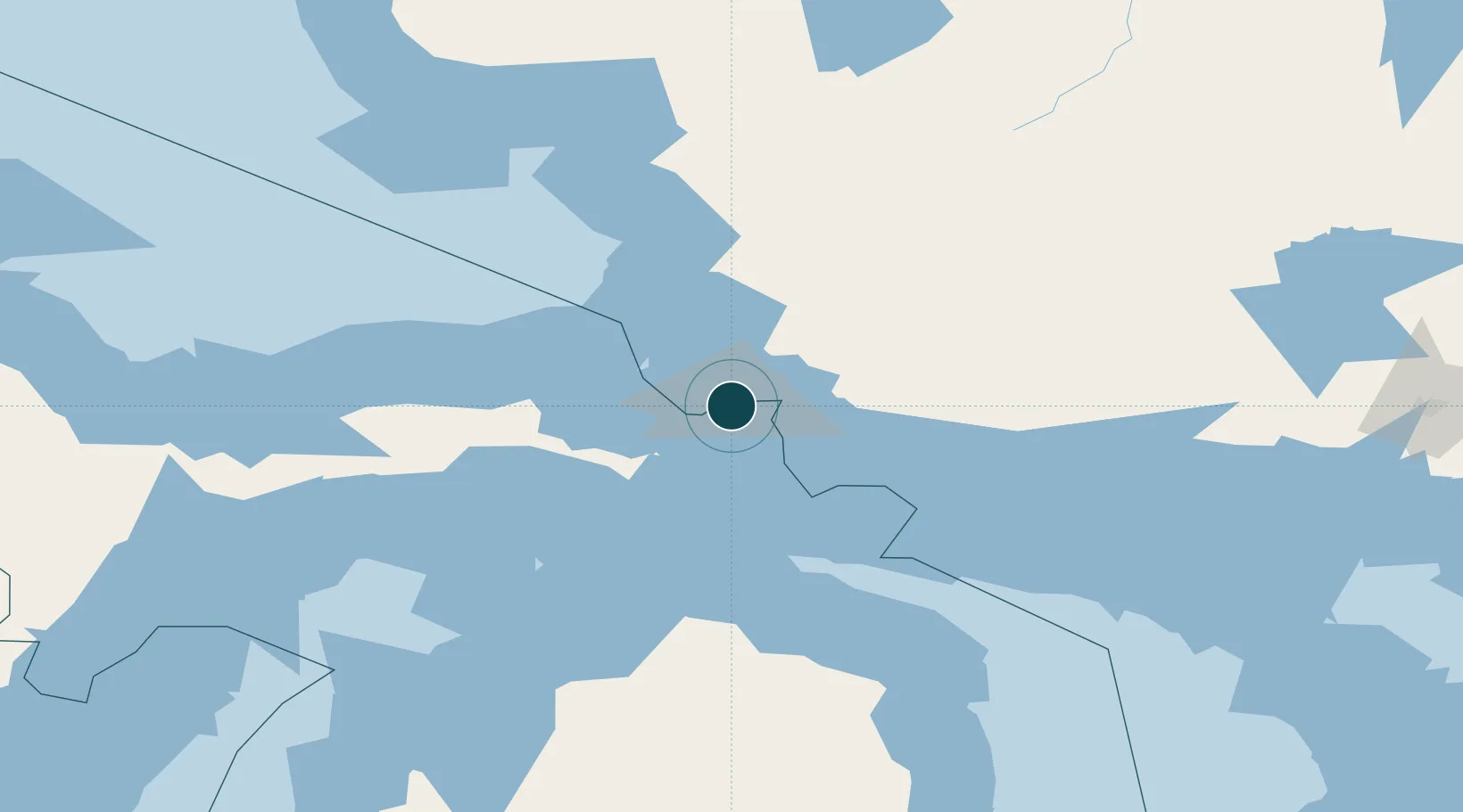
Location
Nearby Logistics Neighbours
Ports
- 1Sault Ste Marie2 km
- 2Goulais Bay28 km
- 3Bruce Mines50 km
- 4Thessalon66 km
- 5Mackinac Island75 km
Cities
- 1Brimley20 km
- 2Echo Bay22 km
- 3Goulais River23 km
- 4Kinross29 km
- 5Rudyard37 km
Airports
Trade Zones
DatabookThe Record of Consolidated Knowledge
United States beyond logistics?