Medium airport · Canada
Kapuskasing AirportCYYU
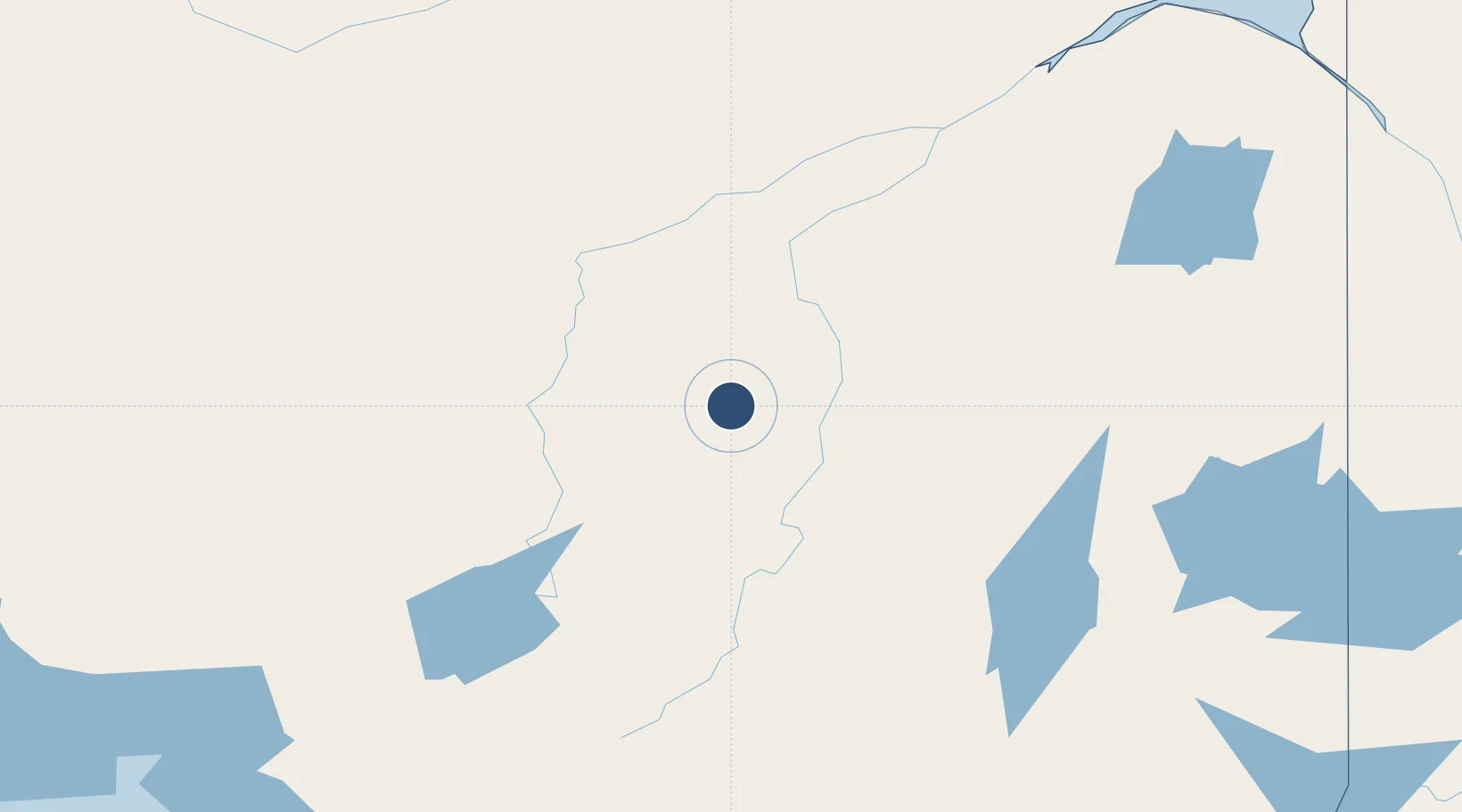
49.4116°, -82.4696°
5,500 ft
Longest runway
2
Runways
743 ft
Elevation
Runway & Layout

Radio Frequencies
DEP
123.275 MHz
London Radio (RCO)
TFC
122.2 MHz
Traffic
Navaids
YU DME Kapuskasing 109.30 MHz
Runways · 2
| Runway | Dimensions | Surface | True heading | Lit |
|---|---|---|---|---|
| 17/35 | 5,500 × 100ft | Asphalt | 156° | ✓ |
| 10/28 | 3,590 × 75ft | Asphalt | 090° | — |
Airport Specifications
IATA code
YYU
ICAO code
CYYU
Airport class
Medium airport
Scheduled service
No
Runway surface
Asphalt
Served city
Kapuskasing
Location
Nearby Logistics Neighbours
Airports
- 1Hearst René Fontaine Municipal Airport94 km
- 2Cochrane Airport111 km
- 3Timmins/Victor M. Power123 km
- 4Hornepayne Municipal Airport168 km
- 5Chapleau Airport188 km
Cities
- 1Moonbeam25 km
- 2Porcupine138 km
- 3Iroquois Falls149 km
- 4Gulfport223 km
- 5Cartier309 km
Ports
- 1Michipicoten240 km
- 2Heron Bay293 km
- 3Goulais Bay334 km
- 4Sault Ste Marie351 km
- 5Sault Ste Marie353 km
Trade Zones
- 1FTZ No. 016 Sault Ste. Marie356 km
- 2FTZ No. 167 Brown County705 km
- 3FTZ No. 140 Flint719 km
- 4FTZ No. 284 Genesee County722 km
- 5FTZ No. 034 Niagara County724 km
DatabookThe Record of Consolidated Knowledge
Canada beyond logistics?