Medium airport · Canada
Hearst René Fontaine Municipal AirportCYHF
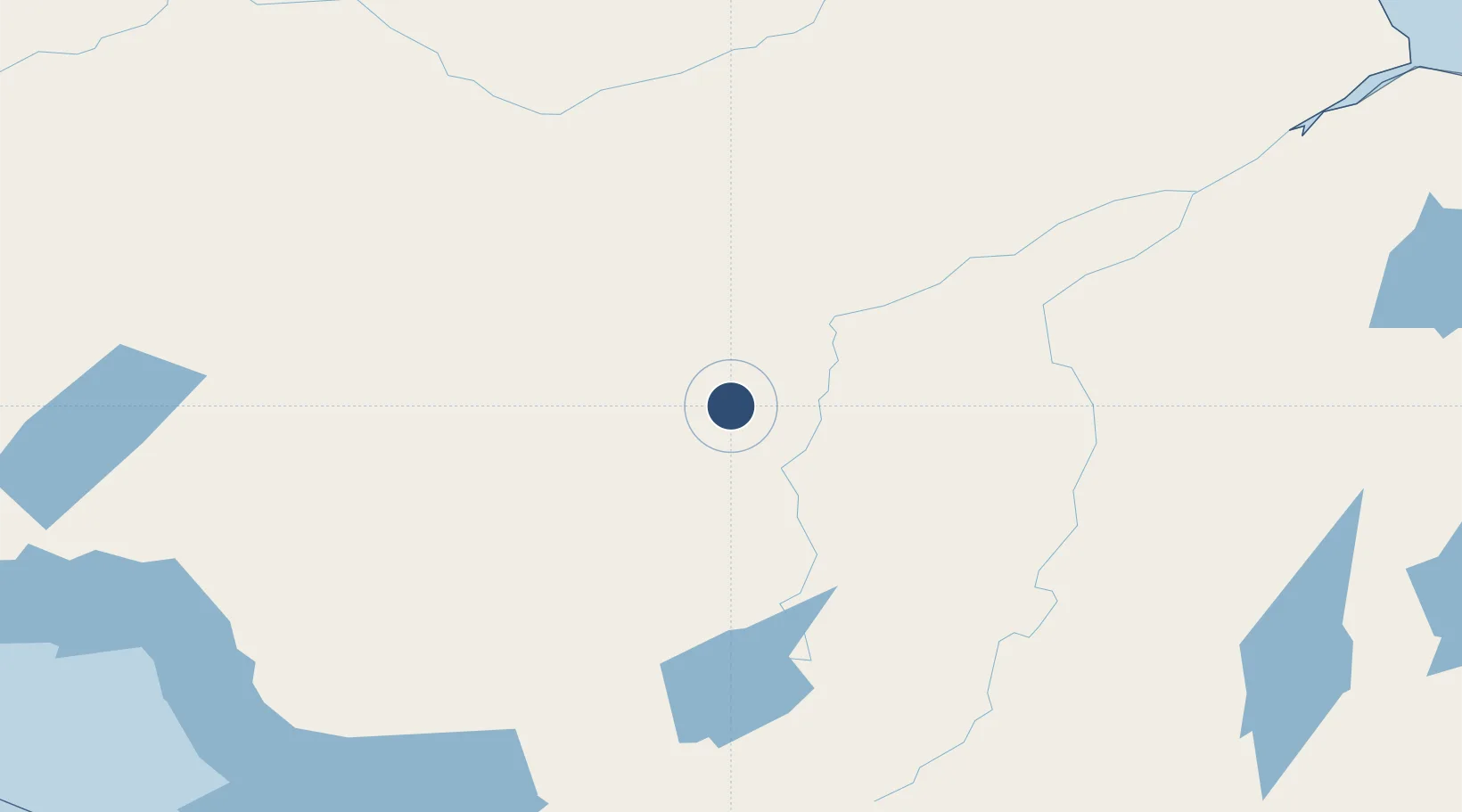
49.7142°, -83.6861°
4,500 ft
Longest runway
1
Runways
827 ft
Elevation
Runway & Layout

Radio Frequencies
UNIC
122.8 MHz
ATF/UNICOM
Runways · 1
| Runway | Dimensions | Surface | True heading | Lit |
|---|---|---|---|---|
| 04/22 | 4,500 × 100ft | Asphalt | 033° | ✓ |
Airport Specifications
IATA code
YHF
ICAO code
CYHF
Airport class
Medium airport
Scheduled service
No
Runway surface
Asphalt
Served city
Hearst
Location
Nearby Logistics Neighbours
Airports
- 1Kapuskasing Airport94 km
- 2Hornepayne Municipal Airport97 km
- 3Manitouwadge Airport172 km
- 4Cochrane Airport205 km
- 5Wawa Airport210 km
Cities
- 1Moonbeam119 km
- 2Porcupine227 km
- 3Iroquois Falls242 km
- 4Gulfport266 km
- 5Goulais River340 km
Ports
- 1Michipicoten214 km
- 2Heron Bay225 km
- 3Goulais Bay337 km
- 4Sault Ste Marie359 km
- 5Sault Ste Marie361 km
Trade Zones
- 1FTZ No. 016 Sault Ste. Marie363 km
- 2FTZ No. 167 Brown County680 km
- 3FTZ No. 140 Flint745 km
- 4FTZ No. 284 Genesee County747 km
- 5FTZ No. 189 Kent Ottawa/Muskegon Counties747 km
DatabookThe Record of Consolidated Knowledge
Canada beyond logistics?