Transport Functions
Road
Multimodal
Hub Profile
Place type
Populated place
Region
Illinois
Population
54
Time zone
America/Chicago
Elevation
159 m
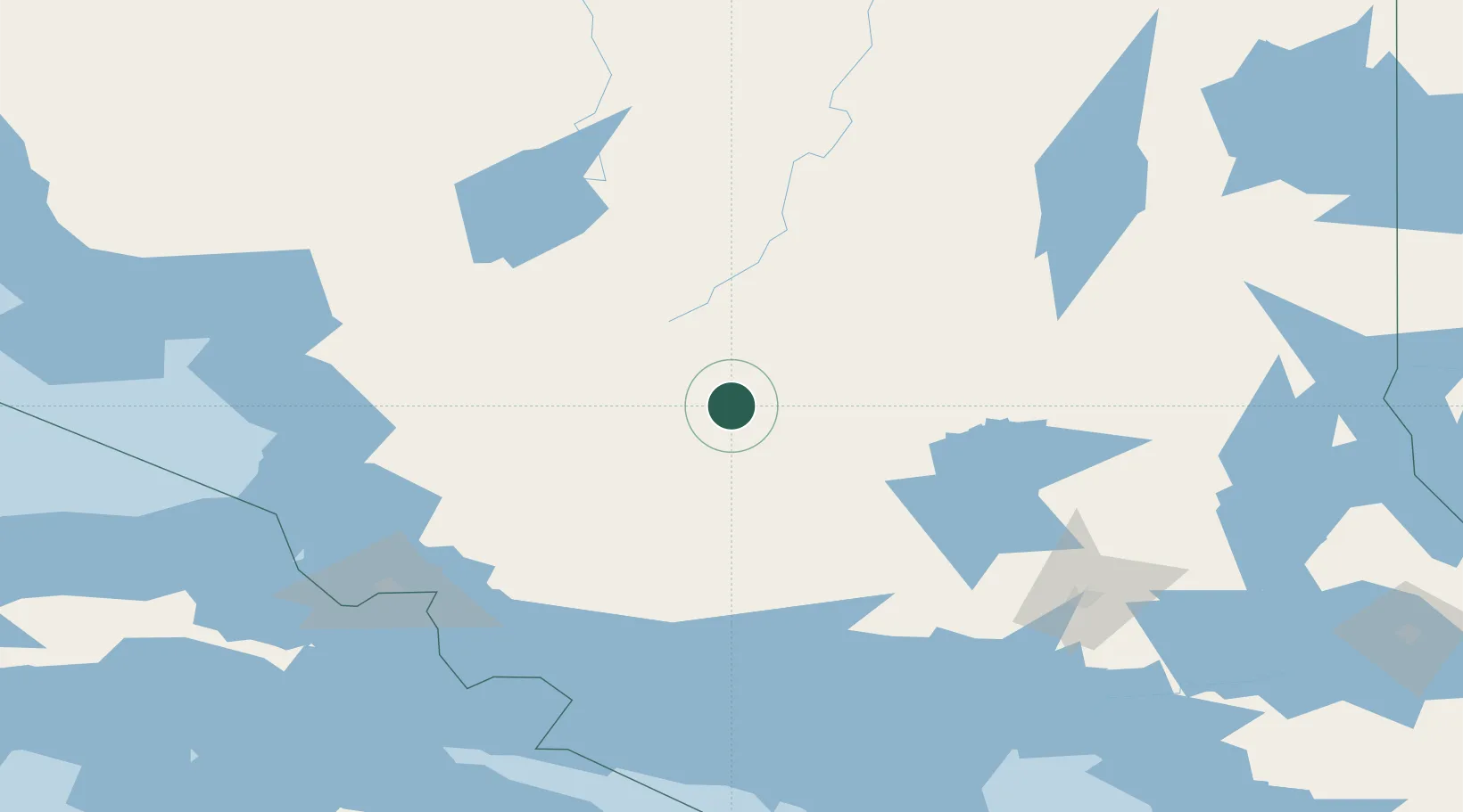
Location
Nearby Logistics Neighbours
Cities
- 1Cartier118 km
- 2Onaping132 km
- 3Echo Bay147 km
- 4Goulais River154 km
- 5Lively161 km
Ports
- 1Blind River139 km
- 2Thessalon146 km
- 3Bruce Mines151 km
- 4Goulais Bay156 km
- 5Sault Ste Marie160 km
Airports
- 1Chapleau Airport66 km
- 2Elliot Lake Municipal Airport119 km
- 3Timmins/Victor M. Power162 km
- 4Wawa Airport168 km
- 5Sudbury Airport169 km
Trade Zones
- 1FTZ No. 016 Sault Ste. Marie166 km
- 2FTZ No. 140 Flint497 km
- 3FTZ No. 284 Genesee County501 km
- 4FTZ No. 210 St. Clair County510 km
- 5FTZ No. 101 Clinton County522 km
DatabookThe Record of Consolidated Knowledge
United States beyond logistics?