Small airport · Canada

Ulukhaktok Holman AirportCYHI

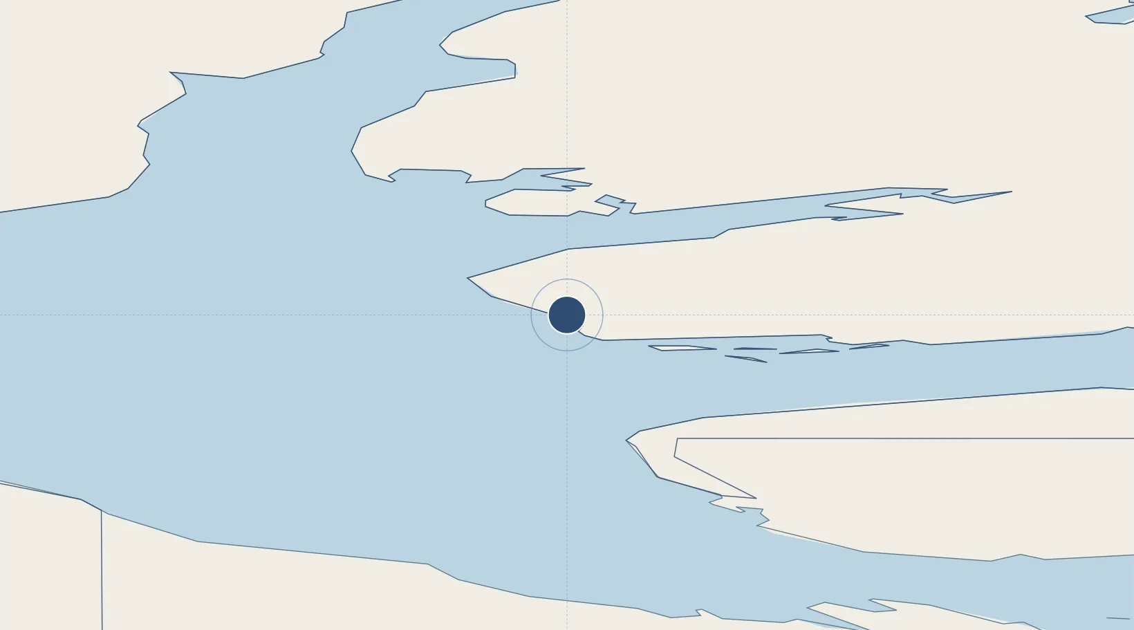
70.7628°, -117.8060°
4,300 ft
Longest runway
1
Runways
117 ft
Elevation

Runway & Layout

Ulukhaktok Holman Airport runway & taxiway layout
Runway & taxiway layout — OpenStreetMap (ODbL) / OurAirports

Radio Frequencies

ATF
122.1 MHz
MANDATORY FREQ
RDO
122.1 MHz
ARPT RDO
OurAirports

Navaids

HI NDB Holman 361 kHz
OurAirports

Runways · 1

RunwayDimensions SurfaceTrue headingLit
06T/24T 4,300 × 100ft Gravel 062°
OurAirports

Airport Specifications

IATA code
YHI
OurAirports
ICAO code
CYHI
OurAirports
Airport class
Small airport
OurAirports
Scheduled service
Yes
OurAirports
Runway surface
Gravel
OurAirports
Served city
Ulukhaktok
OurAirports

Location

Location of CYHI
Natural Earth 10m (public domain) · Northwest Territories · CYHI · 70.76, -117.81GoogleOSMYandex

Nearby Logistics Neighbours

Airports
  1. 1Paulatuk (Nora Aliqatchialuk Ruben) Airport284 km
  2. 2Sachs Harbour (David Nasogaluak Jr. Saaryuaq) Airport297 km
  3. 3Kugluktuk Airport344 km
  4. 4Tommy Kochon Airport532 km
  5. 5Déline Airport660 km
Nearest neighbours — logibook spatial index (haversine) over the source coordinates
Cities
  1. 1Cambridge Bay517 km
  2. 2Mould Bay610 km
  3. 3Fort Franklin662 km
  4. 4Kearl Lake1492 km
  5. 5Fort MacKay1538 km
Nearest neighbours — logibook spatial index (haversine) over the source coordinates
Ports
  1. 1Petersburg1708 km
  2. 2Kake1713 km
  3. 3Wrangell1734 km
  4. 4Stewart1750 km
  5. 5Hyder1751 km
Nearest neighbours — logibook spatial index (haversine) over the source coordinates
Trade Zones
  1. 1PrInce George Logistics Park1889 km
  2. 2Port Alberta - Edmonton FTZ1918 km
  3. 3Calgary Region Inland Port2200 km
  4. 4Global Transportation Hub Authority2357 km
  5. 5FTZ Vancouver Island2409 km
Nearest neighbours — logibook spatial index (haversine) over the source coordinates
DatabookThe Record of Consolidated Knowledge
Canada beyond logistics?
Browse databook

All Sources

AirportsOurAirports
Public domain
Portsthe NGA World Port Index
Public domain (US gov)
LocationsUN/LOCODE
UN/LOCODE — free
Trade Zonesthe World Bank SEZ database
CC BY 4.0
Trade ZonesOpen Zone Map
CC BY
InfrastructureOpenStreetMap
ODbL 1.0
← Canada airports