UN/LOCODE hub · Canada
CAYCB

Cambridge Bay

69.1167°, -105.0833°
1,760
Population
3
Transport functions

Transport Functions

Port
Road
Airport
UN/LOCODE

Hub Profile

Place type
Locality
GeoNames
Region
Nunavut
GeoNames
Population
1,760
GeoNames
Time zone
America/Cambridge_Bay
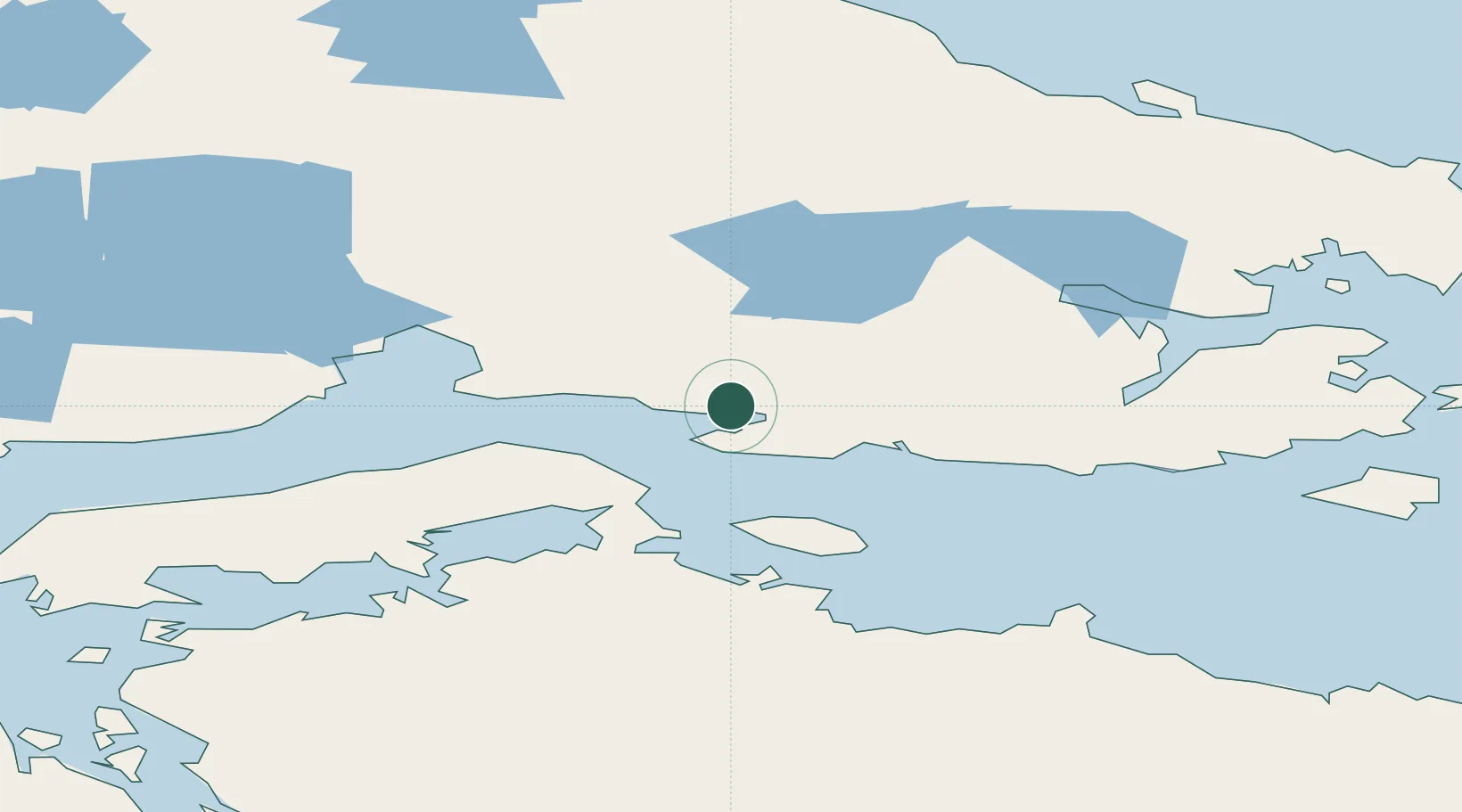
GeoNames

Location

Location of CAYCB
Natural Earth 10m (public domain) · Nunavut · CAYCB · 69.12, -105.08GoogleOSMYandex

Nearby Logistics Neighbours

Cities
  1. 1Gjoa Haven375 km
  2. 2Baker Lake664 km
  3. 3Chesterfield Inlet907 km
  4. 4Rankin Inlet912 km
  5. 5Mould Bay916 km
Nearest neighbours — logibook spatial index (haversine) over the source coordinates
Ports
  1. 1Churchill1262 km
  2. 2Duncan Bay2378 km
  3. 3Port Mellon2394 km
  4. 4Port Moody2406 km
  5. 5Mission City2407 km
Nearest neighbours — logibook spatial index (haversine) over the source coordinates
Airports
  1. 1Cambridge Bay Airport2 km
  2. 2Gjoa Haven Airport374 km
  3. 3Kugluktuk Airport435 km
  4. 4Ekati Airport547 km
  5. 5Baker Lake Airport665 km
Nearest neighbours — logibook spatial index (haversine) over the source coordinates
Trade Zones
  1. 1Port Alberta - Edmonton FTZ1773 km
  2. 2PrInce George Logistics Park1916 km
  3. 3Calgary Region Inland Port2065 km
  4. 4Global Transportation Hub Authority2076 km
  5. 5Winnipegs Centreport Canada2180 km
Nearest neighbours — logibook spatial index (haversine) over the source coordinates
DatabookThe Record of Consolidated Knowledge
Canada beyond logistics?
Browse databook

All Sources

LocationsUN/LOCODE
UN/LOCODE — free
LocationsGeoNames
CC BY 4.0
Portsthe NGA World Port Index
Public domain (US gov)
AirportsOurAirports
Public domain
Trade Zonesthe World Bank SEZ database
CC BY 4.0
Trade ZonesOpen Zone Map
CC BY
← Canada locations