Small airport · Canada
Kugluktuk AirportCYCO
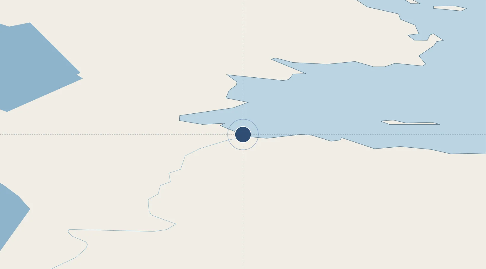
67.8164°, -115.1431°
5,500 ft
Longest runway
1
Runways
74 ft
Elevation
Runway & Layout

Radio Frequencies
ATF
122.1 MHz
MANDATORY FREQ
RDO
122.1 MHz
ARPT RDO
Navaids
YCO NDB Coppermine 372 kHz
Runways · 1
| Runway | Dimensions | Surface | True heading | Lit |
|---|---|---|---|---|
| 12T/30T | 5,500 × 100ft | Gravel | 121° | ✓ |
Airport Specifications
IATA code
YCO
ICAO code
CYCO
Airport class
Small airport
Scheduled service
Yes
Runway surface
Gravel
Served city
Kugluktuk
Location
Nearby Logistics Neighbours
Airports
- 1Ulukhaktok Holman Airport344 km
- 2Ekati Airport401 km
- 3Wekweètì Airport406 km
- 4Rae Lakes Airport423 km
- 5Déline Airport467 km
Cities
- 1Cambridge Bay435 km
- 2Fort Franklin469 km
- 3Mould Bay946 km
- 4Kearl Lake1149 km
- 5Fort MacKay1196 km
Trade Zones
- 1Port Alberta - Edmonton FTZ1580 km
- 2PrInce George Logistics Park1597 km
- 3Calgary Region Inland Port1865 km
- 4Global Transportation Hub Authority2014 km
- 5FTZ Vancouver Island2112 km
DatabookThe Record of Consolidated Knowledge
Canada beyond logistics?