Transport Functions
Port
Airport
Hub Profile
Place type
Locality
Region
Northwest Territories
Time zone
America/Edmonton
Elevation
27 m
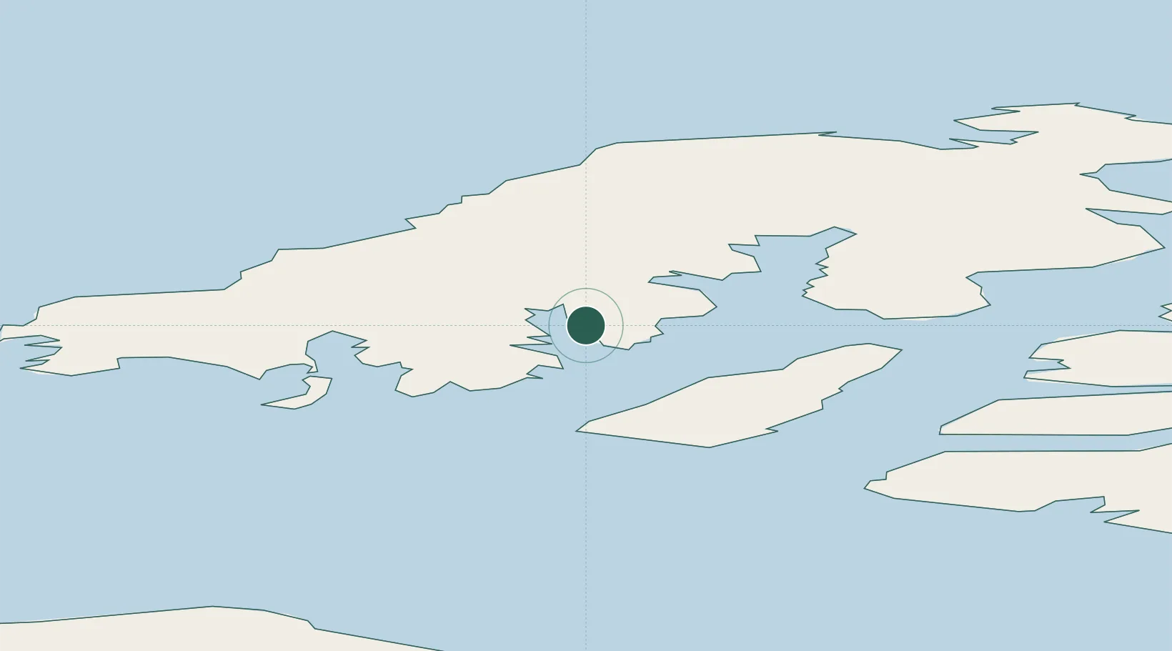
Location
Nearby Logistics Neighbours
Cities
- 1Cambridge Bay916 km
- 2Herschel Island973 km
- 3Fort Franklin1237 km
- 4Baker Lake1564 km
- 5Juneau2080 km
Ports
- 1Skagway1967 km
- 2Haines1992 km
- 3Yakutat2016 km
- 4Excursion Inlet2081 km
- 5Juneau2081 km
Airports
Trade Zones
- 1FTZ No. 195 Fairbanks1612 km
- 2FTZ No. 108 Valdez1962 km
- 3FTZ No. 160 Anchorage2022 km
- 4PrInce George Logistics Park2486 km
- 5Port Alberta - Edmonton FTZ2526 km
DatabookThe Record of Consolidated Knowledge
Canada beyond logistics?