Transport Functions
Multimodal
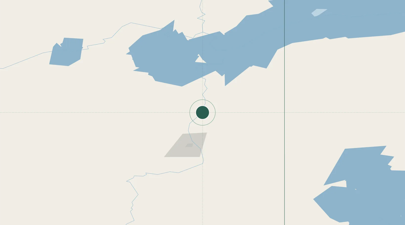
Hub Profile
Region
AB
Location
Nearby Logistics Neighbours
Cities
- 1Fort MacKay50 km
- 2Anzac134 km
- 3Lac La Biche319 km
- 4Glendon375 km
- 5Newbrook377 km
Ports
- 1Mission City1182 km
- 2Port Coquitlam1195 km
- 3Port Moody1195 km
- 4Fraser Mills1199 km
- 5Port Mellon1199 km
Airports
- 1Fort McMurray International Airport108 km
- 2Fort Chipewyan Airport129 km
- 3Fort Smith Airport269 km
- 4Uranium City Airport275 km
- 5Fond-du-Lac Airport312 km
Trade Zones
- 1Port Alberta - Edmonton FTZ459 km
- 2Calgary Region Inland Port750 km
- 3PrInce George Logistics Park818 km
- 4Global Transportation Hub Authority908 km
- 5FTZ No. 187 Toole County1003 km
DatabookThe Record of Consolidated Knowledge
Canada beyond logistics?