Transport Functions
Port
Road
Hub Profile
Place type
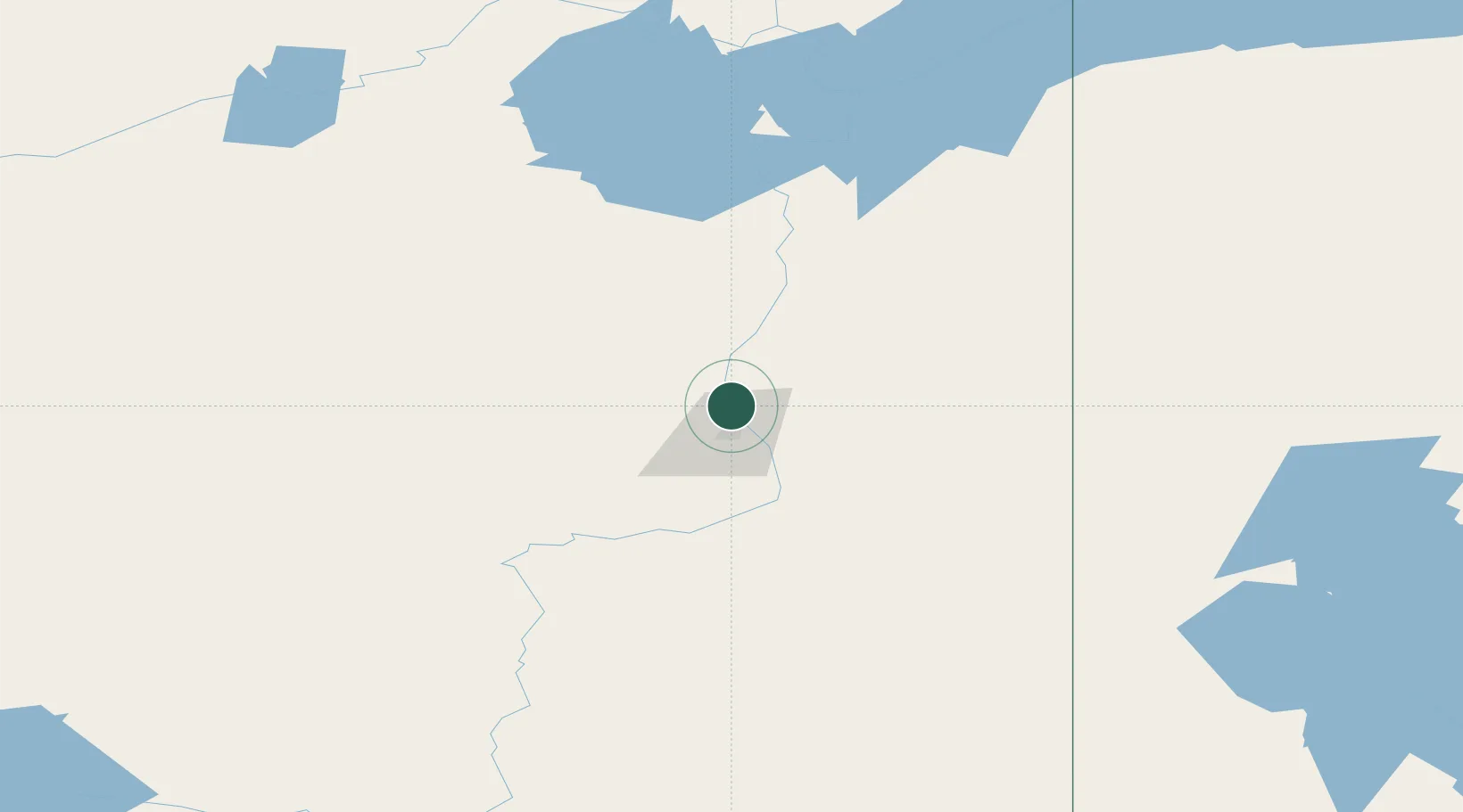
Populated place
Region
Alberta
Time zone
America/Edmonton
Elevation
270 m
Location
Nearby Logistics Neighbours
Cities
- 1Kearl Lake50 km
- 2Anzac91 km
- 3Lac La Biche269 km
- 4Newbrook327 km
- 5Glendon328 km
Ports
- 1Mission City1138 km
- 2Port Coquitlam1151 km
- 3Port Moody1151 km
- 4Fraser Mills1156 km
- 5Port Mellon1157 km
Airports
- 1Fort McMurray International Airport64 km
- 2Fort Chipewyan Airport179 km
- 3Slave Lake Airport286 km
- 4Fort Smith Airport316 km
- 5CFB Cold Lake320 km
Trade Zones
- 1Port Alberta - Edmonton FTZ409 km
- 2Calgary Region Inland Port700 km
- 3PrInce George Logistics Park787 km
- 4Global Transportation Hub Authority874 km
- 5FTZ No. 187 Toole County955 km
DatabookThe Record of Consolidated Knowledge
Canada beyond logistics?