Small airport · Canada

Paulatuk (Nora Aliqatchialuk Ruben) AirportCYPC

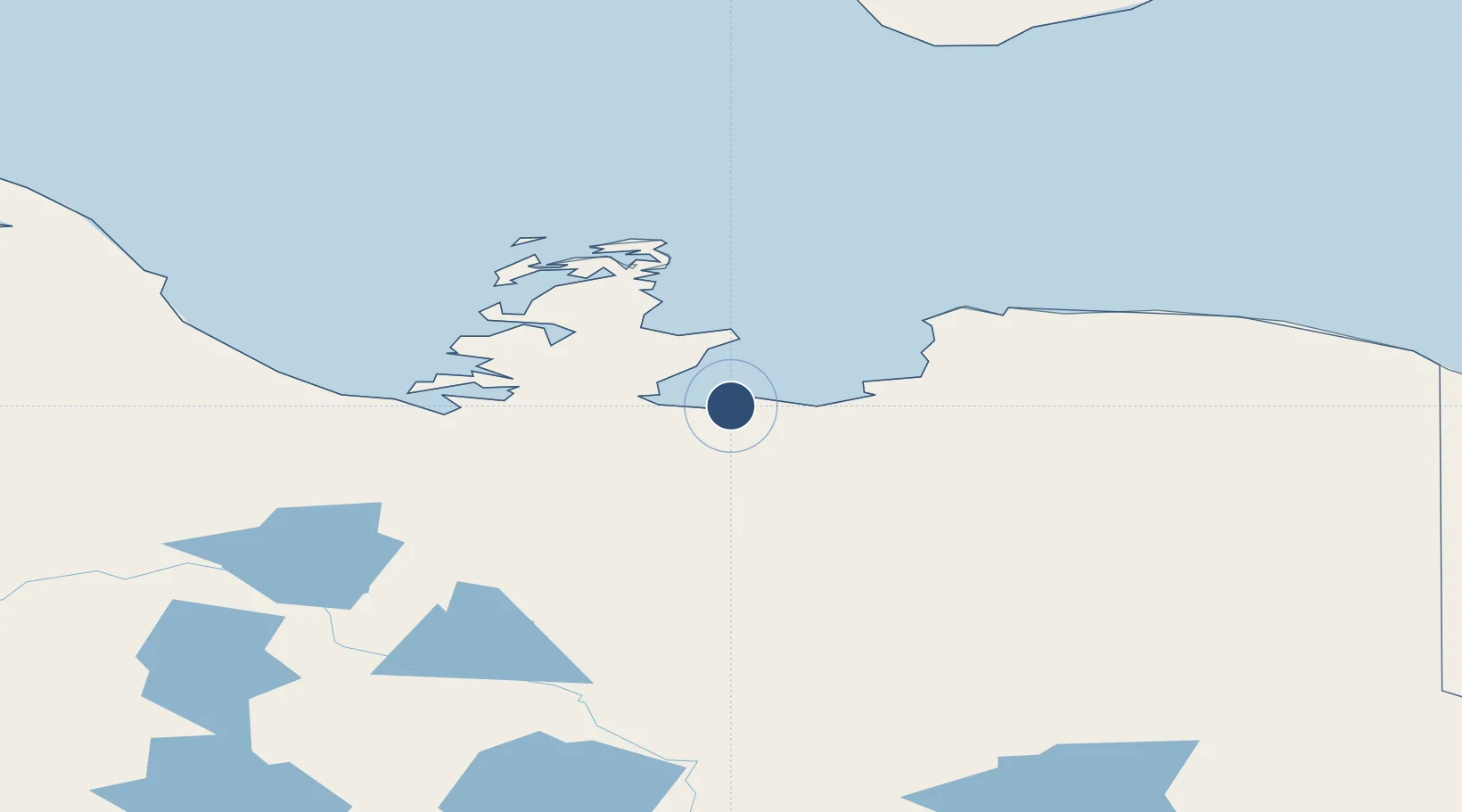
69.3608°, -124.0755°
4,000 ft
Longest runway
1
Runways
15 ft
Elevation

Runway & Layout

Paulatuk (Nora Aliqatchialuk Ruben) Airport runway & taxiway layout
Runway & taxiway layout — OpenStreetMap (ODbL) / OurAirports

Radio Frequencies

ATF
122.1 MHz
MANDATORY FREQ
RDO
122.1 MHz
ARPT RDO
OurAirports

Navaids

YPC NDB Paulatuk 276 kHz
OurAirports

Runways · 1

RunwayDimensions SurfaceTrue headingLit
02T/20T 4,000 × 100ft Gravel 020°
OurAirports

Airport Specifications

IATA code
YPC
OurAirports
ICAO code
CYPC
OurAirports
Airport class
Small airport
OurAirports
Scheduled service
Yes
OurAirports
Runway surface
Gravel
OurAirports
Served city
Paulatuk
OurAirports

Location

Location of CYPC
Natural Earth 10m (public domain) · Northwest Territories · CYPC · 69.36, -124.08GoogleOSMYandex

Nearby Logistics Neighbours

Airports
  1. 1Tommy Kochon Airport274 km
  2. 2Ulukhaktok Holman Airport284 km
  3. 3Sachs Harbour (David Nasogaluak Jr. Saaryuaq) Airport296 km
  4. 4Inuvik Mike Zubko Airport395 km
  5. 5Fort Good Hope Airport396 km
Nearest neighbours — logibook spatial index (haversine) over the source coordinates
Cities
  1. 1Fort Franklin465 km
  2. 2Herschel Island584 km
  3. 3Mould Bay779 km
  4. 4Juneau1325 km
  5. 5Pleasant Island1344 km
Nearest neighbours — logibook spatial index (haversine) over the source coordinates
Ports
  1. 1Skagway1223 km
  2. 2Haines1248 km
  3. 3Juneau1326 km
  4. 4Dupont1331 km
  5. 5Excursion Inlet1333 km
Nearest neighbours — logibook spatial index (haversine) over the source coordinates
Trade Zones
  1. 1FTZ No. 195 Fairbanks1130 km
  2. 2FTZ No. 108 Valdez1369 km
  3. 3PrInce George Logistics Park1719 km
  4. 4Port Alberta - Edmonton FTZ1833 km
  5. 5Calgary Region Inland Port2103 km
Nearest neighbours — logibook spatial index (haversine) over the source coordinates
DatabookThe Record of Consolidated Knowledge
Canada beyond logistics?
Browse databook

All Sources

AirportsOurAirports
Public domain
Portsthe NGA World Port Index
Public domain (US gov)
LocationsUN/LOCODE
UN/LOCODE — free
Trade Zonesthe World Bank SEZ database
CC BY 4.0
Trade ZonesOpen Zone Map
CC BY
InfrastructureOpenStreetMap
ODbL 1.0
← Canada airports