Runway & Layout

Airport Specifications
IATA code
YFJ
ICAO code
CYWE
Airport class
Small airport
Scheduled service
Yes
Served city
Wekweètì
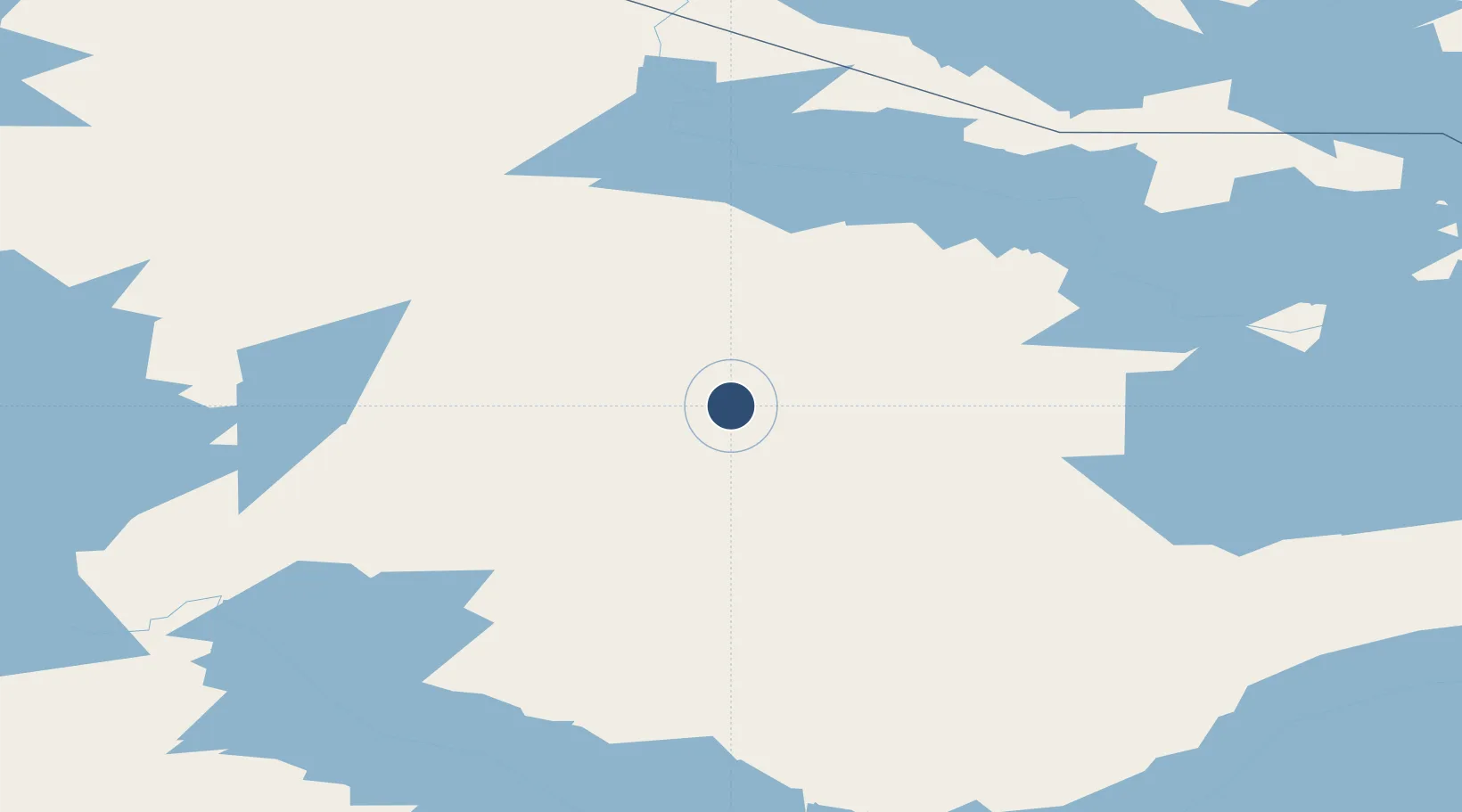
Location
Nearby Logistics Neighbours
Airports
- 1Rae Lakes Airport157 km
- 2Ekati Airport175 km
- 3Yellowknife International Airport193 km
- 4Whatì Airport196 km
- 5Lutselk'e Airport260 km
Cities
- 1Fort Franklin457 km
- 2Cambridge Bay675 km
- 3Kearl Lake745 km
- 4Fort MacKay790 km
- 5Anzac879 km
Trade Zones
- 1Port Alberta - Edmonton FTZ1175 km
- 2PrInce George Logistics Park1243 km
- 3Calgary Region Inland Port1461 km
- 4Global Transportation Hub Authority1624 km
- 5FTZ No. 242 Boundary County1725 km
DatabookThe Record of Consolidated Knowledge
Canada beyond logistics?