Medium airport · Canada
Ekati AirportCYOA
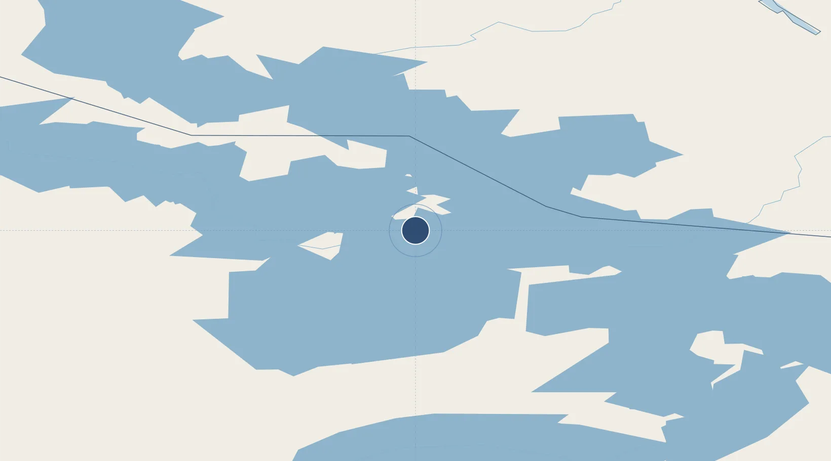
64.6989°, -110.6150°
6,411 ft
Longest runway
1
Runways
1,536 ft
Elevation
Runway & Layout

Radio Frequencies
CTAF
122.7 MHz
PAL
135.175 MHz
Edmonton Center
RCO
123.275 MHz
Arctic Radio (FISE)
Navaids
4A NDB-DME Koala 0.35 MHz
Runways · 1
| Runway | Dimensions | Surface | True heading | Lit |
|---|---|---|---|---|
| 02T/20T | 6,411 × 148ft | Gravel | — | ✓ |
Airport Specifications
IATA code
YOA
ICAO code
CYOA
Airport class
Medium airport
Scheduled service
No
Runway surface
Gravel
Served city
Ekati
Location
Nearby Logistics Neighbours
Airports
- 1Wekweètì Airport175 km
- 2Lutselk'e Airport254 km
- 3Yellowknife International Airport312 km
- 4Rae Lakes Airport328 km
- 5Whatì Airport368 km
Cities
- 1Cambridge Bay547 km
- 2Kearl Lake789 km
- 3Fort MacKay838 km
- 4Anzac919 km
- 5Grimshaw1018 km
Ports
- 1Churchill1081 km
- 2Bella Coola1652 km
- 3Alert Bay1834 km
- 4Port Mcneill1838 km
- 5Duncan Bay1839 km
Trade Zones
- 1Port Alberta - Edmonton FTZ1240 km
- 2PrInce George Logistics Park1377 km
- 3Calgary Region Inland Port1531 km
- 4Global Transportation Hub Authority1621 km
- 5FTZ No. 187 Toole County1792 km
DatabookThe Record of Consolidated Knowledge
Canada beyond logistics?