Runway & Layout

Airport Specifications
IATA code
YRA
ICAO code
CYRA
Airport class
Small airport
Scheduled service
Yes
Served city
Gamètì
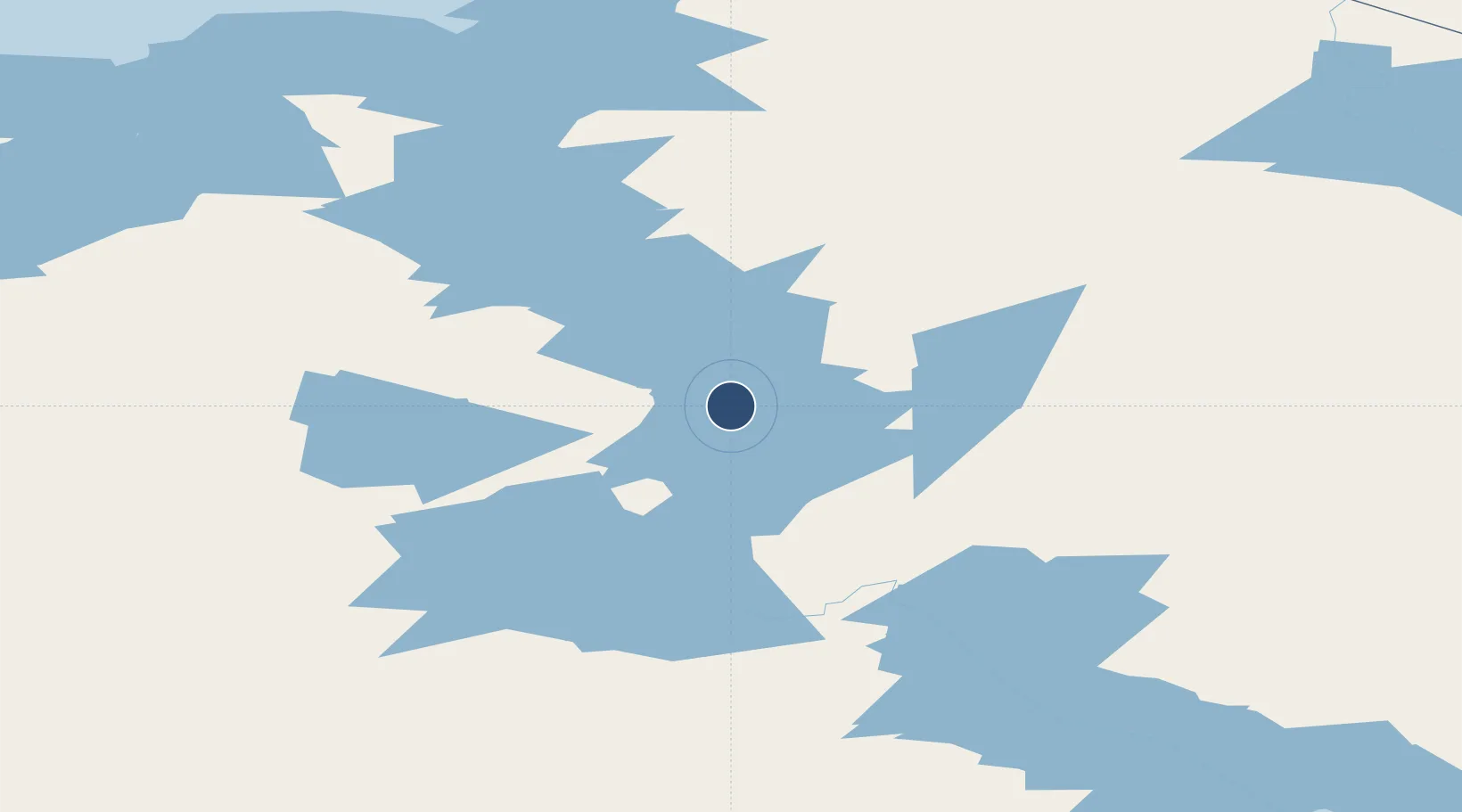
Location
Nearby Logistics Neighbours
Airports
- 1Whatì Airport110 km
- 2Wekweètì Airport157 km
- 3Yellowknife International Airport233 km
- 4Déline Airport316 km
- 5Wrigley Airport319 km
Cities
- 1Fort Franklin314 km
- 2Kearl Lake789 km
- 3Fort MacKay830 km
- 4Grimshaw880 km
- 5Anzac921 km
Trade Zones
- 1PrInce George Logistics Park1175 km
- 2Port Alberta - Edmonton FTZ1188 km
- 3Calgary Region Inland Port1465 km
- 4FTZ Vancouver Island1689 km
- 5Global Transportation Hub Authority1690 km
DatabookThe Record of Consolidated Knowledge
Canada beyond logistics?