Transport Functions
Port
Rail
Road
Multimodal
Hub Profile
Place type
Populated place
Region
British Columbia
Time zone
America/Vancouver
Elevation
680 m
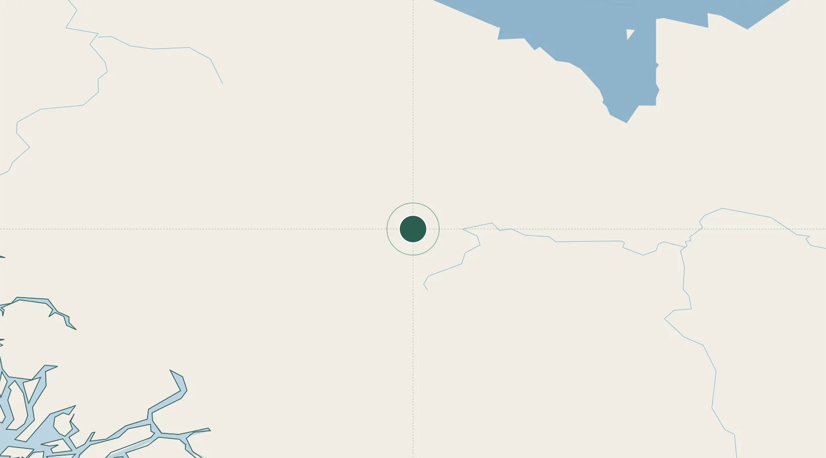
Location
Nearby Logistics Neighbours
Cities
- 1Vanderhoof66 km
- 2Telkwa148 km
- 3Prince George150 km
- 4Horsefly309 km
- 5100 Mile House (One Hundred Mile House)370 km
Ports
- 1Bella Coola225 km
- 2Kitimat240 km
- 3Klemtu285 km
- 4Prince Rupert347 km
- 5Port Simpson355 km
Airports
- 1Burns Lake Airport69 km
- 2Streatham Reef Hueston Airfield81 km
- 3Prince George (International) Airport155 km
- 4Smithers Airport163 km
- 5Mackenzie Airport181 km
Trade Zones
- 1PrInce George Logistics Park149 km
- 2FTZ Vancouver Island554 km
- 3FTZ No. 128 Whatcom County610 km
- 4FTZ No. 129 Bellingham617 km
- 5FTZ No. 085 Everett704 km
DatabookThe Record of Consolidated Knowledge
Canada beyond logistics?