Seaplane base · Canada

Greenway Sound Seaplane BaseYGN

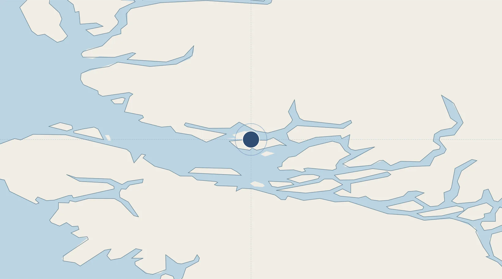
50.8390°, -126.7750°
5,729 ft
Longest runway
1
Runways

Runway & Layout

Greenway Sound Seaplane Base runway & taxiway layout
Runway & taxiway layout — OpenStreetMap (ODbL) / OurAirports

Runways · 1

RunwayDimensions SurfaceTrue headingLit
12/30 5,729 × 164ft Water
OurAirports

Airport Specifications

IATA code
YGN
OurAirports
ICAO code
CYGN
OurAirports
Airport class
Seaplane base
OurAirports
Scheduled service
Yes
OurAirports
Runway surface
Water
OurAirports
Served city
Broughton Island
OurAirports

Location

Location of YGN
Natural Earth 10m (public domain) · British Columbia · YGN · 50.84, -126.78GoogleOSMYandex

Nearby Logistics Neighbours

Airports
  1. 1Sullivan Bay Seaplane Base7 km
  2. 2Gilford Island/Echo Bay Seaplane Base22 km
  3. 3Alert Bay Airport30 km
  4. 4Port McNeill Airport35 km
  5. 5Minstrel Island Seaplane Base42 km
Nearest neighbours — logibook spatial index (haversine) over the source coordinates
Cities
  1. 1Beaver Cove36 km
  2. 2Port McNeill37 km
  3. 3Coal Harbour63 km
  4. 4Sayward81 km
  5. 5Campbell River142 km
Nearest neighbours — logibook spatial index (haversine) over the source coordinates
Ports
  1. 1Alert Bay31 km
  2. 2Port Mcneill36 km
  3. 3Coal Harbor63 km
  4. 4Port Alice70 km
  5. 5Tahsis103 km
Nearest neighbours — logibook spatial index (haversine) over the source coordinates
Trade Zones
  1. 1FTZ Vancouver Island316 km
  2. 2FTZ No. 128 Whatcom County378 km
  3. 3FTZ No. 129 Bellingham383 km
  4. 4PrInce George Logistics Park438 km
  5. 5FTZ No. 173 Grays Harbor445 km
Nearest neighbours — logibook spatial index (haversine) over the source coordinates
DatabookThe Record of Consolidated Knowledge
Canada beyond logistics?
Browse databook

All Sources

AirportsOurAirports
Public domain
Portsthe NGA World Port Index
Public domain (US gov)
LocationsUN/LOCODE
UN/LOCODE — free
Trade Zonesthe World Bank SEZ database
CC BY 4.0
Trade ZonesOpen Zone Map
CC BY
← Canada airports