Medium airport · Canada
Anahim Lake AirportCAJ4
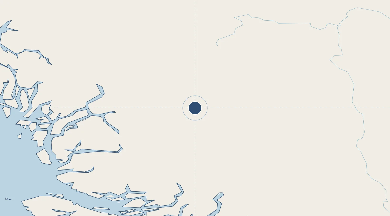
52.4515°, -125.3038°
3,930 ft
Longest runway
1
Runways
3,635 ft
Elevation
Runway & Layout

Radio Frequencies
ATF
122.8 MHz
Runways · 1
| Runway | Dimensions | Surface | True heading | Lit |
|---|---|---|---|---|
| 13/31 | 3,930 × 75ft | Asphalt | 147° | — |
Airport Specifications
IATA code
YAA
ICAO code
CAJ4
Airport class
Medium airport
Scheduled service
Yes
Runway surface
Asphalt
Served city
Anahim Lake
Location
Nearby Logistics Neighbours
Airports
- 1Bella Coola Airport88 km
- 2Streatham Reef Hueston Airfield163 km
- 3Quesnel Airport199 km
- 4Sullivan Bay Seaplane Base204 km
- 5Gilford Island/Echo Bay Seaplane Base204 km
Cities
- 1Endako183 km
- 2Vanderhoof194 km
- 3Prince George236 km
- 4Sayward238 km
- 5Beaver Cove241 km
Ports
- 1Bella Coola102 km
- 2Klemtu218 km
- 3Alert Bay236 km
- 4Port Mcneill242 km
- 5Coal Harbor259 km
Trade Zones
- 1PrInce George Logistics Park236 km
- 2FTZ Vancouver Island388 km
- 3FTZ No. 128 Whatcom County449 km
- 4FTZ No. 129 Bellingham455 km
- 5FTZ No. 085 Everett541 km
DatabookThe Record of Consolidated Knowledge
Canada beyond logistics?