Channel & Berth Profile
Pilotage, Tugs & Services
Pilotage compulsoryYES
Pilotage availableYES
Potable waterYES
Diesel bunkersYES
MedicalYES
Facilities & Capabilities
Container—
Ro-Ro—
Liquid bulk—
Dry bulk—
Oil terminal—
Break bulk—
Dry dock—
RepairsNO
Bunkering—
Rail link—
Dangerous cargo—
ISPS security—
Harbour Specifications
Harbour size
Very Small
Harbour type
Coastal (Natural)
Shelter
Fair
Water body
Alaska-Canada coastal waters; North Pacific Ocean
Tidal range
3 m
Overhead limit
No
Pilotage
Yes
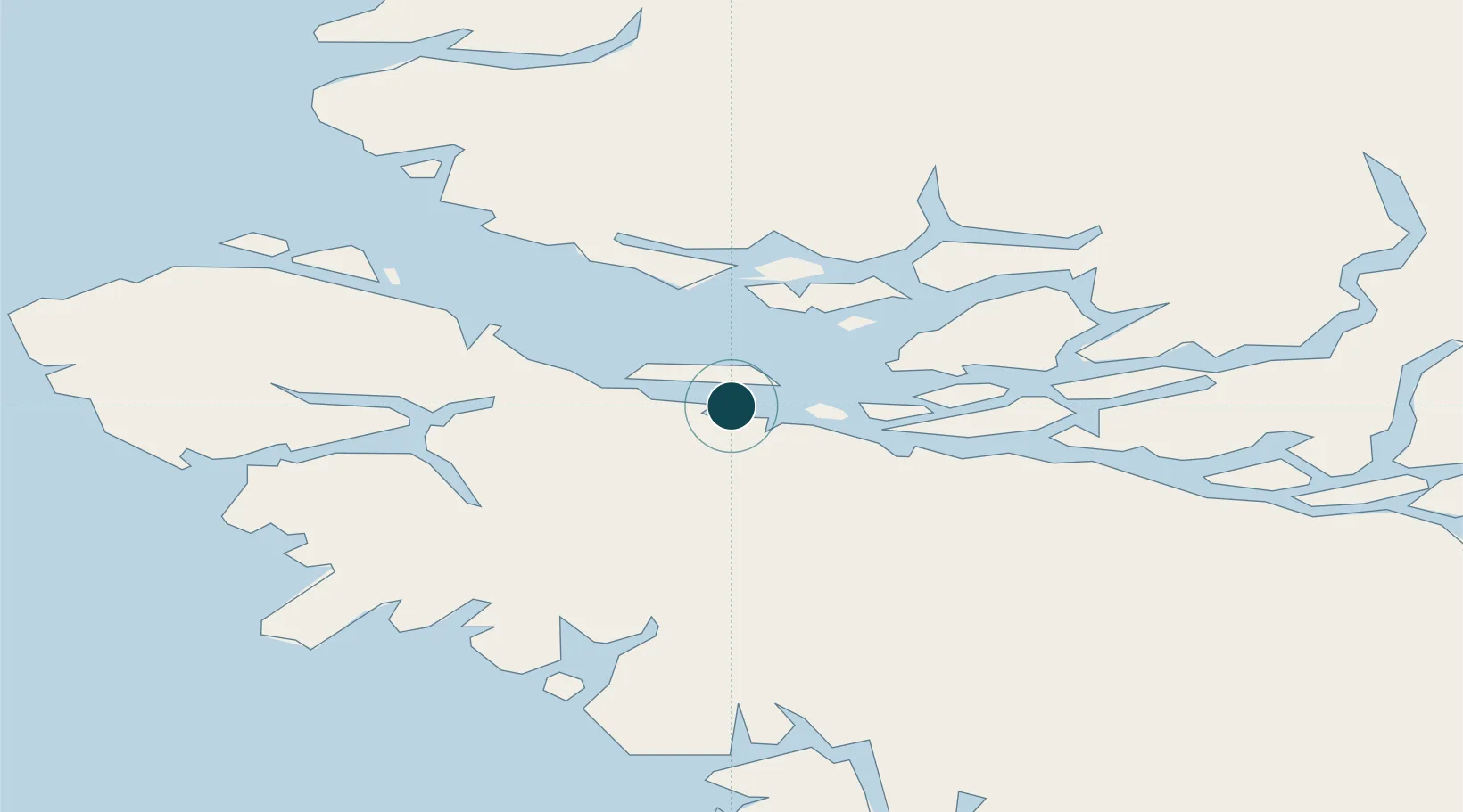
Location
Nearby Logistics Neighbours
Ports
- 1Port Mcneill11 km
- 2Port Alice43 km
- 3Coal Harbor46 km
- 4Tahsis77 km
- 5Gold River116 km
Cities
- 1Beaver Cove9 km
- 2Port McNeill12 km
- 3Coal Harbour46 km
- 4Sayward77 km
- 5Campbell River135 km
Airports
- 1Alert Bay Airport1 km
- 2Port McNeill Airport7 km
- 3Greenway Sound Seaplane Base31 km
- 4Port Hardy Airport32 km
- 5Sullivan Bay Seaplane Base34 km
Trade Zones
- 1FTZ Vancouver Island311 km
- 2FTZ No. 128 Whatcom County372 km
- 3FTZ No. 129 Bellingham376 km
- 4FTZ No. 173 Grays Harbor425 km
- 5FTZ No. 085 Everett446 km
DatabookThe Record of Consolidated Knowledge
Canada beyond logistics?