Transport Functions
Port
Road
Hub Profile
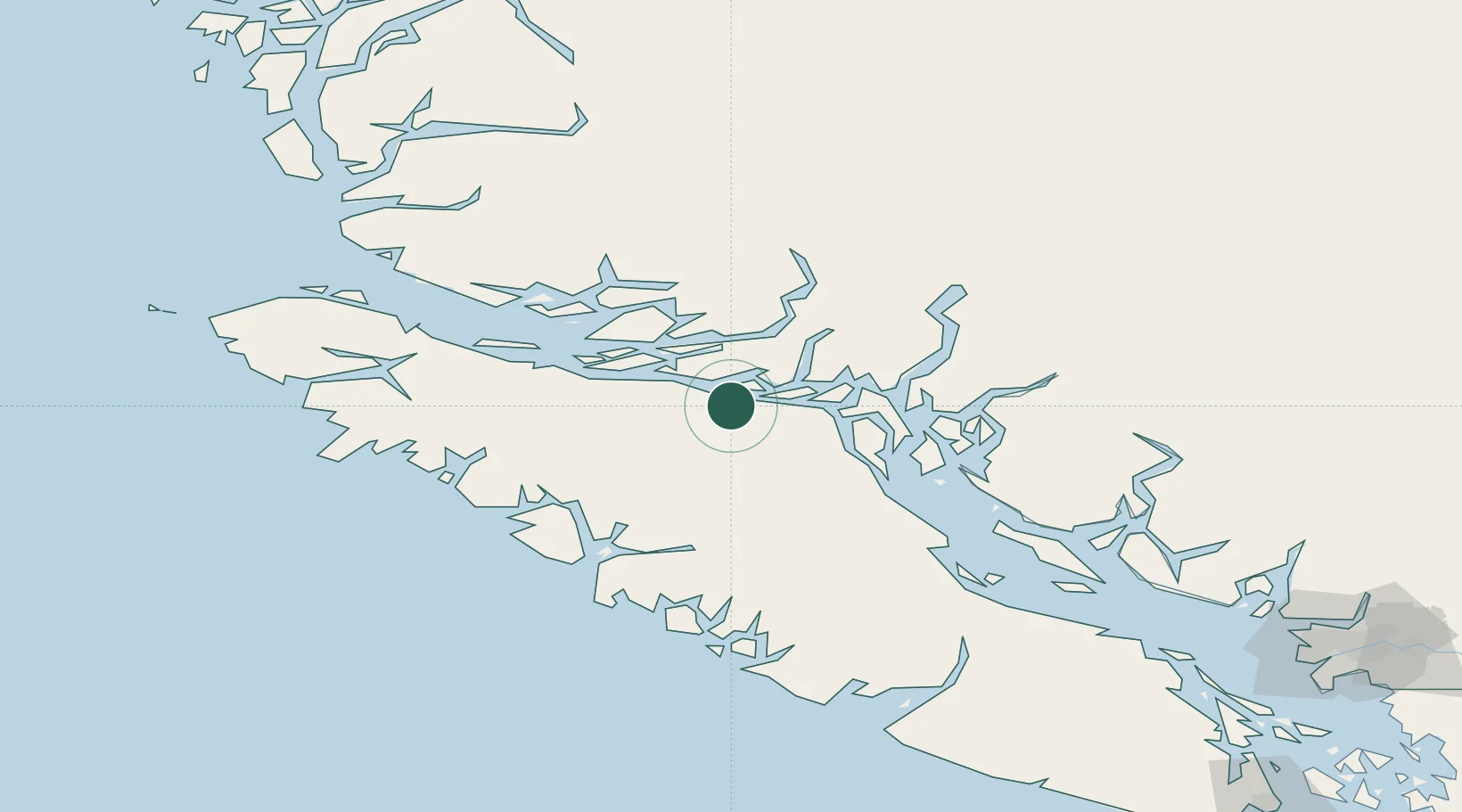
Place type
Populated place
Region
British Columbia
Population
334
Time zone
America/Vancouver
Elevation
13 m
Location
Nearby Logistics Neighbours
Cities
- 1Campbell River60 km
- 2Beaver Cove70 km
- 3Port McNeill88 km
- 4Denman Island120 km
- 5Coal Harbour121 km
Ports
- 1Duncan Bay55 km
- 2Tahsis72 km
- 3Gold River76 km
- 4Alert Bay77 km
- 5Port Mcneill87 km
Airports
Trade Zones
- 1FTZ Vancouver Island236 km
- 2FTZ No. 128 Whatcom County297 km
- 3FTZ No. 129 Bellingham302 km
- 4FTZ No. 173 Grays Harbor373 km
- 5FTZ No. 085 Everett375 km
DatabookThe Record of Consolidated Knowledge
Canada beyond logistics?