UN/LOCODE hub · Canada
CAPRG
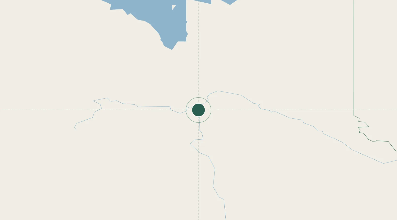
Prince George
53.9200°, -122.7394°
78,943
Population
2
Transport functions
Transport Functions
Port
Airport
Hub Profile
Place type
Populated place
Region
British Columbia
Population
78,943
Time zone
America/Vancouver
Elevation
578 m
Logistics facilities
2
Location
Nearby Logistics Neighbours
Cities
- 1Vanderhoof84 km
- 2Endako150 km
- 3Horsefly197 km
- 4Hythe259 km
- 5100 Mile House (One Hundred Mile House)273 km
Ports
- 1Bella Coola321 km
- 2Duncan Bay462 km
- 3Alert Bay468 km
- 4Port Mcneill474 km
- 5Port Mellon492 km
Airports
- 1Prince George (International) Airport6 km
- 2Quesnel Airport101 km
- 3Mackenzie Airport155 km
- 4Williams Lake Airport199 km
- 5Chetwynd Airport209 km
Trade Zones
- 1PrInce George Logistics Park1 km
- 2FTZ Vancouver Island520 km
- 3FTZ No. 128 Whatcom County568 km
- 4FTZ No. 129 Bellingham575 km
- 5FTZ No. 085 Everett659 km
DatabookThe Record of Consolidated Knowledge
Canada beyond logistics?