Transport Functions
Rail
Road
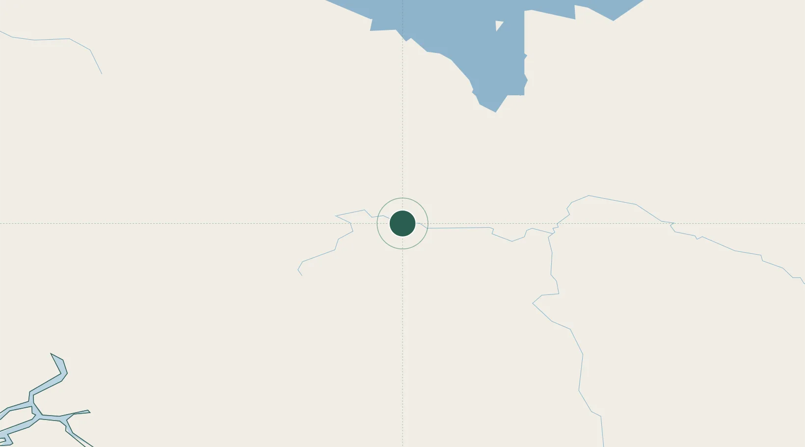
Hub Profile
Place type
Populated place
Region
British Columbia
Population
4,346
Time zone
America/Vancouver
Elevation
635 m
Location
Nearby Logistics Neighbours
Cities
- 1Endako66 km
- 2Prince George84 km
- 3Telkwa210 km
- 4Horsefly255 km
- 5100 Mile House (One Hundred Mile House)322 km
Ports
- 1Bella Coola261 km
- 2Kitimat305 km
- 3Klemtu338 km
- 4Prince Rupert412 km
- 5Port Simpson421 km
Airports
- 1Prince George (International) Airport90 km
- 2Burns Lake Airport132 km
- 3Streatham Reef Hueston Airfield143 km
- 4Quesnel Airport149 km
- 5Mackenzie Airport153 km
Trade Zones
- 1PrInce George Logistics Park84 km
- 2FTZ Vancouver Island534 km
- 3FTZ No. 128 Whatcom County587 km
- 4FTZ No. 129 Bellingham594 km
- 5FTZ No. 085 Everett681 km
DatabookThe Record of Consolidated Knowledge
Canada beyond logistics?