Medium airport · Canada
Burns Lake AirportCYPZ
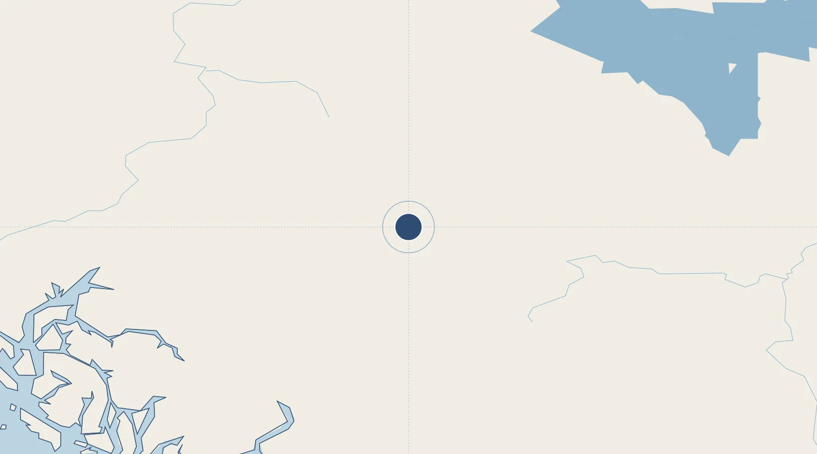
54.3764°, -125.9510°
5,000 ft
Longest runway
1
Runways
2,343 ft
Elevation
Runway & Layout

Radio Frequencies
ATF
122.7 MHz
Burns Lake Traffic, 5nm below 5400ASL
LWIS
122.95 MHz
Limited Weather Information System
PAL
123.875 MHz
Vancouver Control
PAL
132.525 MHz
Vancouver Control
RCO
123.375 MHz
Pacific Radio (FISE)
Runways · 1
| Runway | Dimensions | Surface | True heading | Lit |
|---|---|---|---|---|
| 11/29 | 5,000 × 75ft | Asphalt | 137° | ✓ |
Airport Specifications
IATA code
YPZ
ICAO code
CYPZ
Airport class
Medium airport
Scheduled service
Yes
Runway surface
Asphalt
Served city
Burns Lake
Location
Nearby Logistics Neighbours
Airports
- 1Streatham Reef Hueston Airfield63 km
- 2Smithers Airport94 km
- 3Northwest Regional Airport Terrace-Kitimat170 km
- 4Mackenzie Airport207 km
- 5Anahim Lake Airport218 km
Cities
- 1Endako69 km
- 2Telkwa79 km
- 3Vanderhoof132 km
- 4Prince George215 km
- 5Horsefly377 km
Ports
- 1Kitimat183 km
- 2Bella Coola231 km
- 3Klemtu260 km
- 4Prince Rupert284 km
- 5Port Simpson290 km
Trade Zones
- 1PrInce George Logistics Park215 km
- 2FTZ Vancouver Island603 km
- 3FTZ No. 128 Whatcom County662 km
- 4FTZ No. 129 Bellingham668 km
- 5FTZ No. 085 Everett755 km
DatabookThe Record of Consolidated Knowledge
Canada beyond logistics?