Transport Functions
Rail
Road
Hub Profile
Place type
Populated place
Region
British Columbia
Population
1,474
Time zone
America/Vancouver
Elevation
502 m
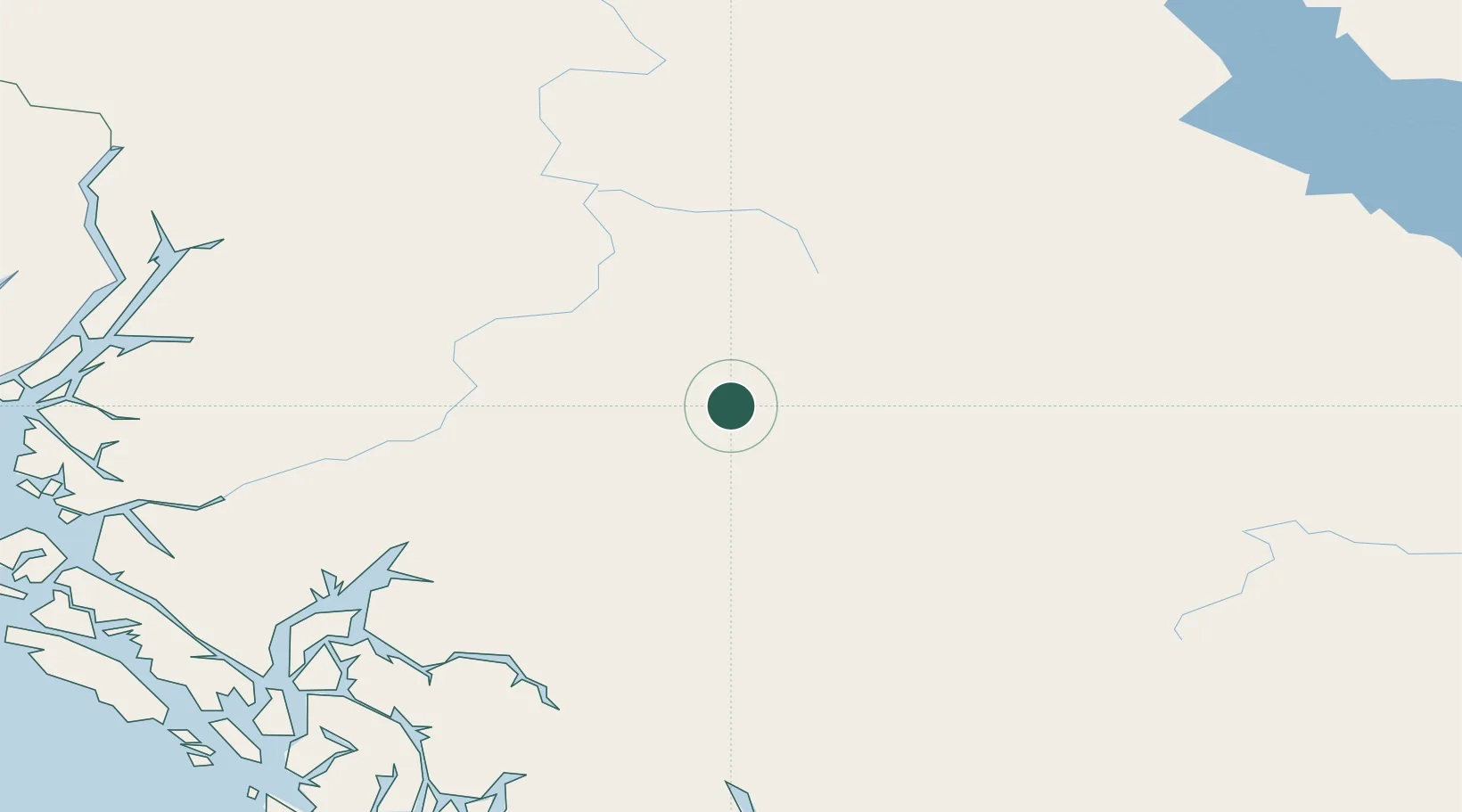
Location
Nearby Logistics Neighbours
Cities
- 1Endako148 km
- 2Vanderhoof210 km
- 3Prince Rupert218 km
- 4Prince George292 km
- 5Metlakatla293 km
Ports
- 1Kitimat130 km
- 2Prince Rupert216 km
- 3Port Simpson218 km
- 4Hyder232 km
- 5Stewart233 km
Airports
- 1Smithers Airport18 km
- 2Burns Lake Airport79 km
- 3Northwest Regional Airport Terrace-Kitimat101 km
- 4Streatham Reef Hueston Airfield111 km
- 5Prince Rupert Airport224 km
Trade Zones
- 1PrInce George Logistics Park292 km
- 2FTZ Vancouver Island662 km
- 3FTZ No. 128 Whatcom County722 km
- 4FTZ No. 129 Bellingham729 km
- 5FTZ No. 085 Everett815 km
DatabookThe Record of Consolidated Knowledge
Canada beyond logistics?