Small airport · Colombia

Virgilio Barco Vargas (La Chorrera) AirportCO-LCR
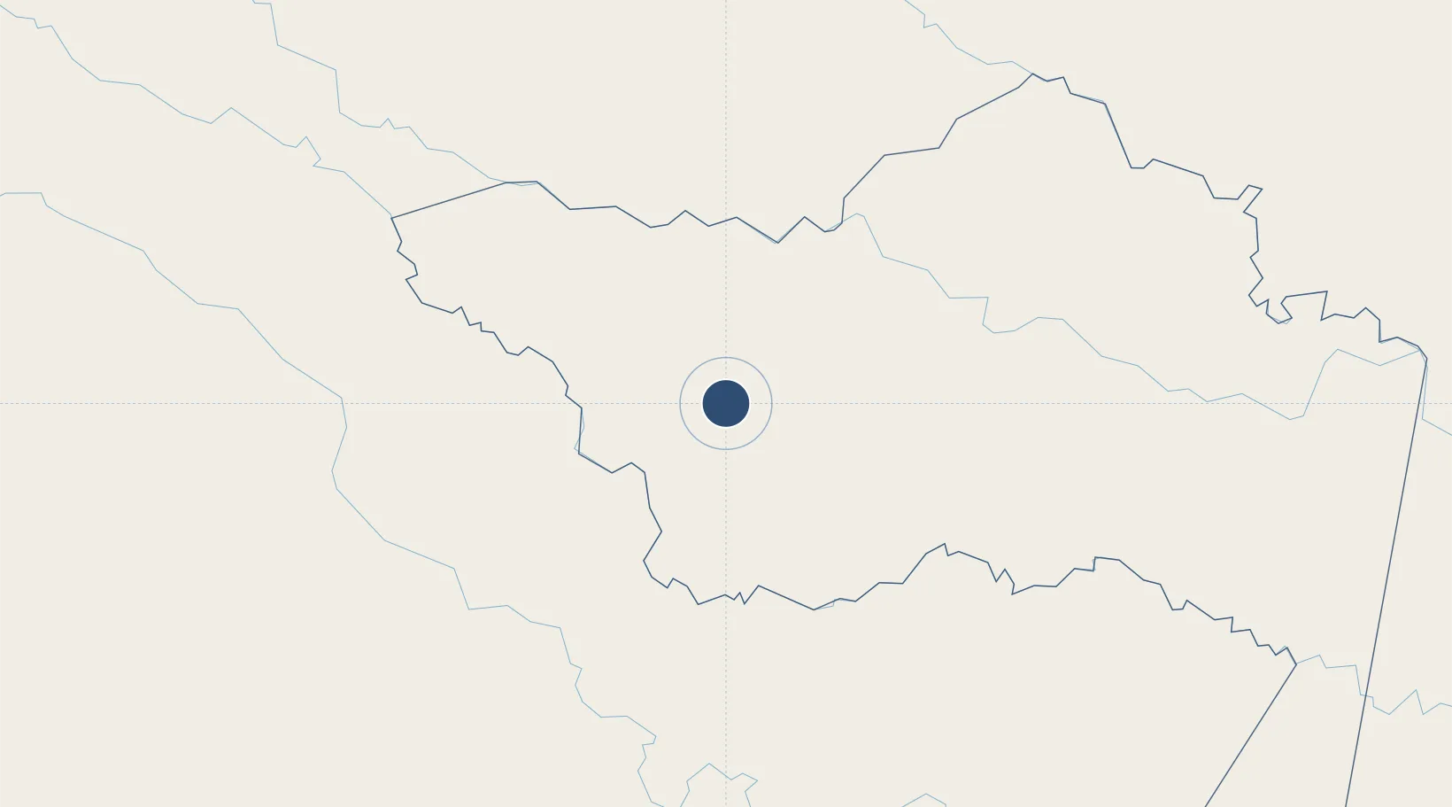
-1.4564°, -72.8011°
564 ft
Elevation

Runway & Layout

Virgilio Barco Vargas (La Chorrera) Airport runway & taxiway layout
Runway & taxiway layout — OpenStreetMap (ODbL) / OurAirports

Airport Specifications

IATA code
LCR
OurAirports
ICAO code
SKHZ
OurAirports
Airport class
Small airport
OurAirports
Scheduled service
Yes
OurAirports
Served city
La Chorrera
OurAirports

Location

Location of CO-LCR
Natural Earth 10m (public domain) · Amazonas · CO-LCR · -1.46, -72.80GoogleOSMYandex

Nearby Logistics Neighbours

Airports
  1. 1Caucaya Airport261 km
  2. 2Coronel FAP Francisco Secada Vignetta International Airport265 km
  3. 3La Pedrera Airport358 km
  4. 4Captain Ernesto Esguerra Cubides Air Base365 km
  5. 5Caballococha Airport374 km
Nearest neighbours — logibook spatial index (haversine) over the source coordinates
Cities
  1. 1Arica140 km
  2. 2Simon Bolivar433 km
  3. 3Tabatinga442 km
  4. 4Leticia442 km
  5. 5Benjamin Constant448 km
Nearest neighbours — logibook spatial index (haversine) over the source coordinates
Ports
  1. 1Iquitos260 km
  2. 2Tumaco755 km
  3. 3Buenaventura760 km
  4. 4Guayaquil791 km
  5. 5Puerto Maritimo De Guayaquil794 km
Nearest neighbours — logibook spatial index (haversine) over the source coordinates
Trade Zones
  1. 1Surcolombiana Free Trade Zone560 km
  2. 2Metrozona Quito634 km
  3. 3Corpaq Tabalela (Quiport)636 km
  4. 4Zona Franca Millestonecorp648 km
  5. 5Zona Franca Mitad del Mundo654 km
Nearest neighbours — logibook spatial index (haversine) over the source coordinates
DatabookThe Record of Consolidated Knowledge
Colombia beyond logistics?
Browse databook

All Sources

AirportsOurAirports
Public domain
Portsthe NGA World Port Index
Public domain (US gov)
LocationsUN/LOCODE
UN/LOCODE — free
Trade Zonesthe World Bank SEZ database
CC BY 4.0
Trade ZonesOpen Zone Map
CC BY
InfrastructureOpenStreetMap
ODbL 1.0
← Colombia airports