UN/LOCODE hub · Brazil
BRBCT
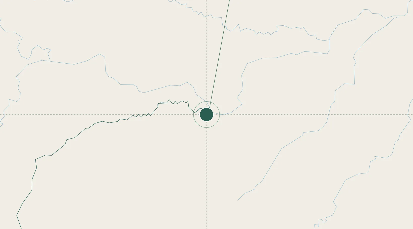
Benjamin Constant
-4.3667°, -70.0167°
40,509
Population
2
Transport functions
Transport Functions
Port
Road
Hub Profile
Place type
Populated place
Region
Amazonas
Population
40,509
Time zone
America/Eirunepe
Elevation
68 m
Location
Nearby Logistics Neighbours
Cities
- 1Tabatinga19 km
- 2Leticia19 km
- 3Simon Bolivar27 km
- 4São Paulo de Olivença158 km
- 5Eirunepé256 km
Ports
- 1Iquitos363 km
- 2Salaverry1080 km
- 3Puerto De Chimbote1085 km
- 4Punta Lobitos (Bahia De Huarmey)1102 km
- 5Puerto Supe1112 km
Airports
- 1Tabatinga International Airport15 km
- 2Alfredo Vásquez Cobo International Airport21 km
- 3Caballococha Airport74 km
- 4Tarapacá Airport166 km
- 5La Pedrera Airport342 km
Trade Zones
- 1ZPE do Acre (AC)689 km
- 2Cobija Commercial and Industrial Free Zone764 km
- 3Surcolombiana Free Trade Zone1001 km
- 4Metrozona Quito1037 km
- 5Corpaq Tabalela (Quiport)1040 km
DatabookThe Record of Consolidated Knowledge
Brazil beyond logistics?