Transport Functions
Port
Airport
Hub Profile
Place type
Regional capital
Region
Amazonas Department
Population
48,144
Time zone
America/Bogota
Elevation
84 m
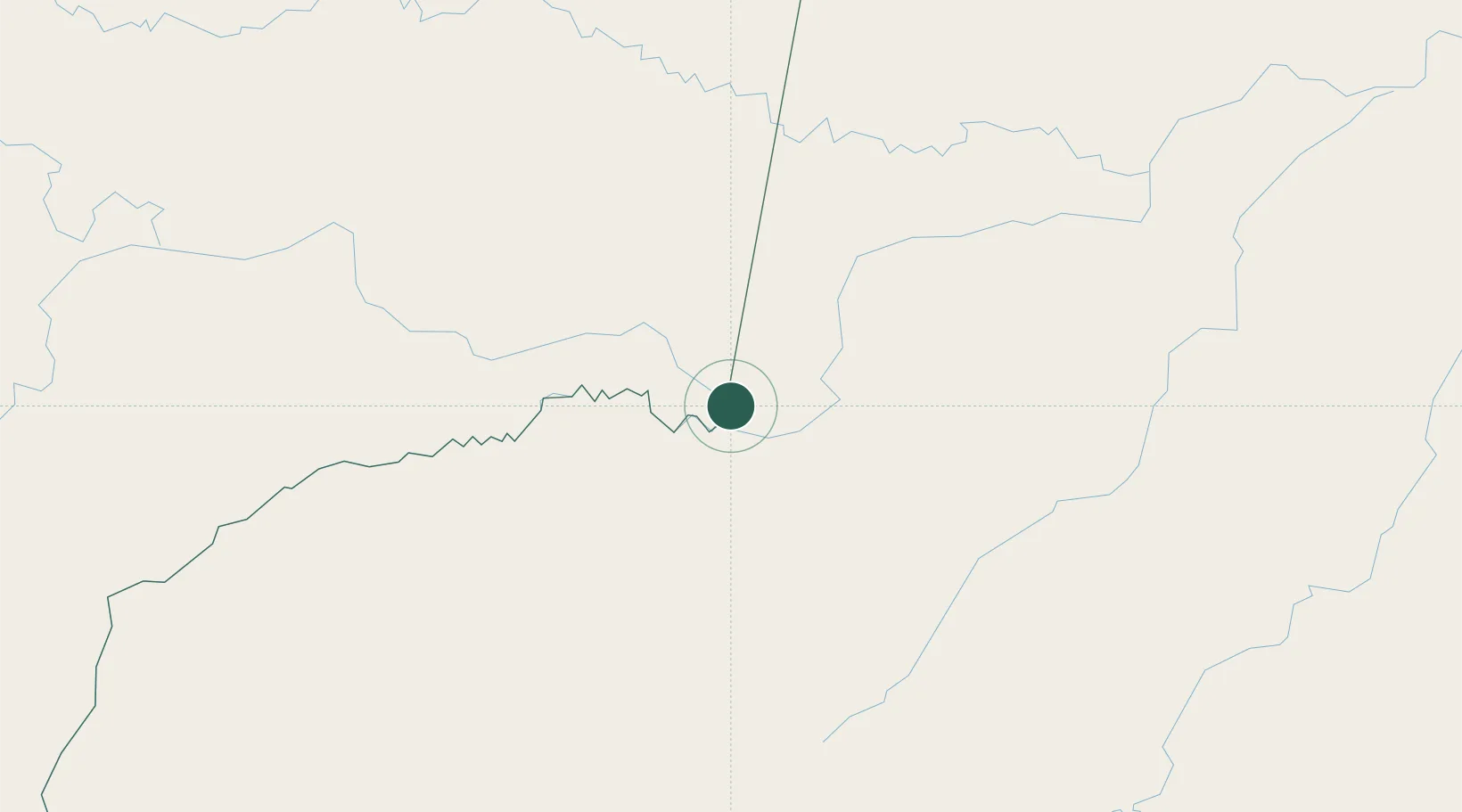
Location
Nearby Logistics Neighbours
Cities
- 1Tabatinga0 km
- 2Simon Bolivar10 km
- 3Benjamin Constant19 km
- 4São Paulo de Olivença140 km
- 5Eirunepé273 km
Ports
- 1Iquitos370 km
- 2Salaverry1095 km
- 3Puerto De Chimbote1101 km
- 4Manaus1107 km
- 5Punta Lobitos (Bahia De Huarmey)1119 km
Airports
Trade Zones
- 1ZPE do Acre (AC)701 km
- 2Cobija Commercial and Industrial Free Zone779 km
- 3Surcolombiana Free Trade Zone993 km
- 4Metrozona Quito1038 km
- 5Corpaq Tabalela (Quiport)1041 km
DatabookThe Record of Consolidated Knowledge
Colombia beyond logistics?