Transport Functions
Port
Rail
Road
Airport
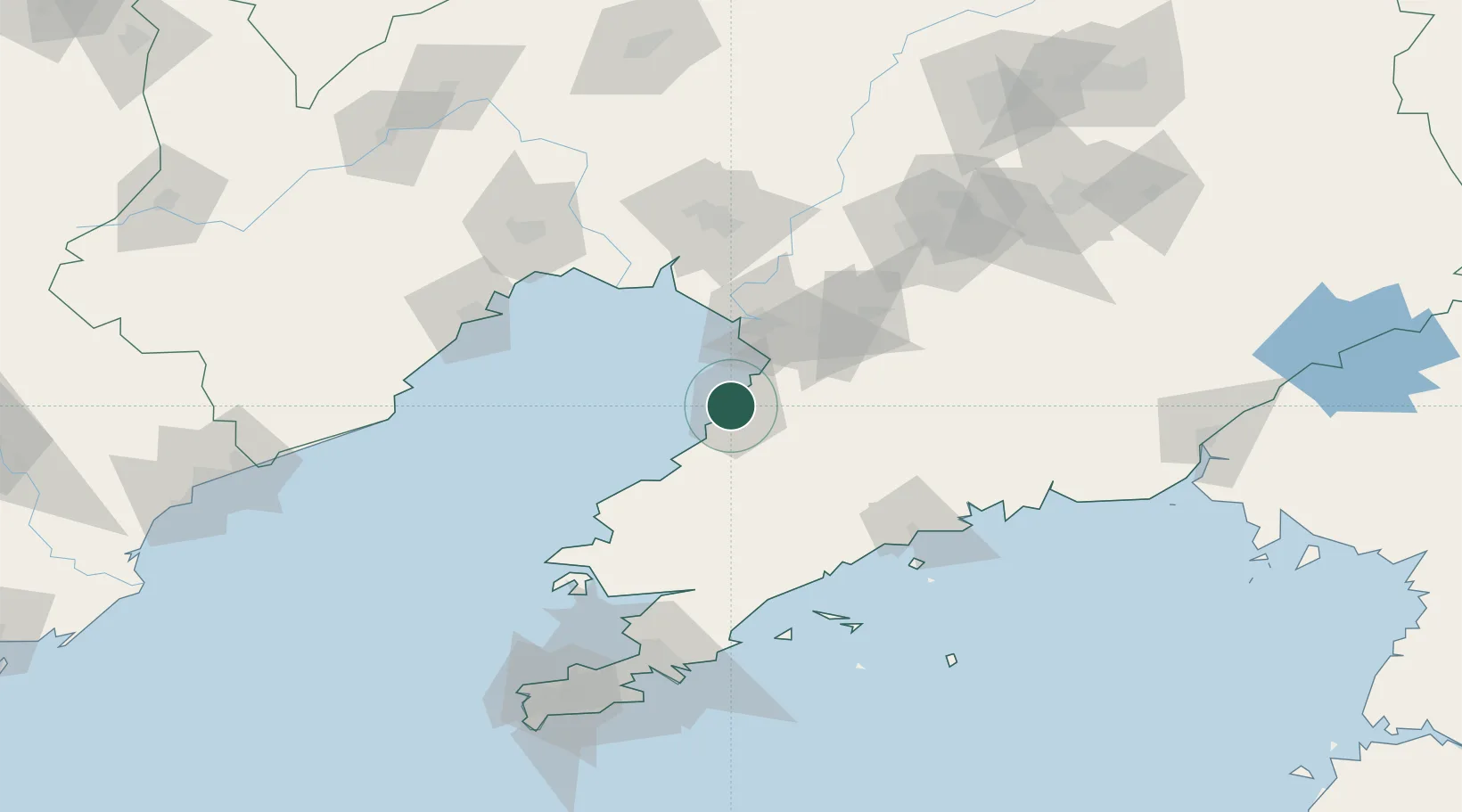
Hub Profile
Place type
Populated place
Region
Jiangsu
Time zone
Asia/Shanghai
Elevation
2 m
Logistics facilities
4
Container terminals
1
Location
Nearby Logistics Neighbours
Cities
- 1Yangshufang28 km
- 2Panjin47 km
- 3Songshu51 km
- 4Dawa79 km
- 5Zhuanghe Pt98 km
Ports
- 1Bayuquan4 km
- 2Jinzhou Wan101 km
- 3Huludao Gang107 km
- 4Dalian156 km
- 5Dandong181 km
Airports
- 1Yingkou Lanqi Airport36 km
- 2Laohutun Air Base74 km
- 3Pulandian Air Base92 km
- 4Jinzhou Bay Airport102 km
- 5Anshan Teng'ao Airport / Anshan Air Base111 km
DatabookThe Record of Consolidated Knowledge
China beyond logistics?