Small airport · Canada
North Spirit Lake AirportCKQ3
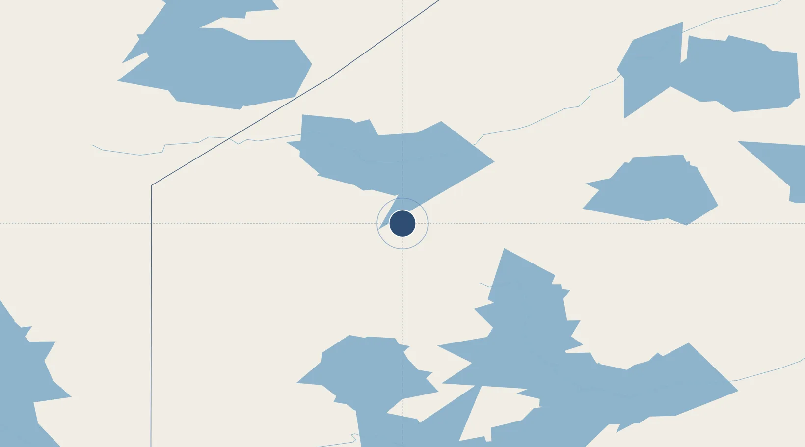
52.4900°, -92.9711°
3,500 ft
Longest runway
1
Runways
1,082 ft
Elevation
Runway & Layout

Runways · 1
| Runway | Dimensions | Surface | True heading | Lit |
|---|---|---|---|---|
| 13/31 | 3,500 × 100ft | GRVL | — | — |
Airport Specifications
IATA code
YNO
ICAO code
CKQ3
Airport class
Small airport
Scheduled service
Yes
Runway surface
GRVL
Served city
North Spirit Lake
Location
Nearby Logistics Neighbours
Airports
- 1Keewaywin Airport57 km
- 2Sandy Lake Airport69 km
- 3Deer Lake Airport76 km
- 4Poplar Hill Airport97 km
- 5Pikangikum Airport101 km
Cities
- 1Red Lake168 km
- 2Island Lake190 km
- 3Pine Falls311 km
- 4Riverton324 km
- 5Arborg343 km
Ports
- 1Thunder Bay526 km
- 2Grand Marais560 km
- 3Two Harbors616 km
- 4Heron Bay635 km
- 5Duluth640 km
Trade Zones
- 1Winnipegs Centreport Canada409 km
- 2FTZ No. 259 Koochiching County478 km
- 3FTZ No. 103 Grand Forks590 km
- 4FTZ No. 051 Duluth639 km
- 5FTZ No. 267 Fargo689 km
DatabookThe Record of Consolidated Knowledge
Canada beyond logistics?