Transport Functions
Rail
Road
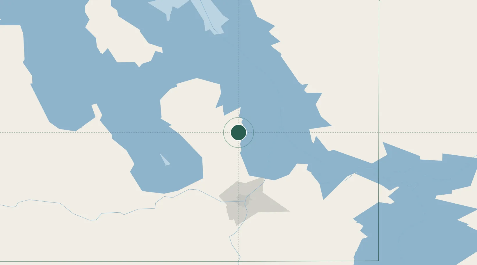
Hub Profile
Place type
Populated place
Region
Manitoba
Population
1,279
Time zone
America/Winnipeg
Elevation
228 m
Location
Nearby Logistics Neighbours
Cities
- 1Riverton19 km
- 2Teulon56 km
- 3Gunton63 km
- 4Petersfield67 km
- 5Libau77 km
Ports
- 1Duluth591 km
- 2Two Harbors591 km
- 3Superior596 km
- 4Grand Marais608 km
- 5Thunder Bay637 km
Airports
Trade Zones
- 1Winnipegs Centreport Canada110 km
- 2FTZ No. 103 Grand Forks330 km
- 3FTZ No. 259 Koochiching County357 km
- 4FTZ No. 267 Fargo448 km
- 5Global Transportation Hub Authority533 km
DatabookThe Record of Consolidated Knowledge
Canada beyond logistics?