Small airport · Canada
Deer Lake AirportCYVZ
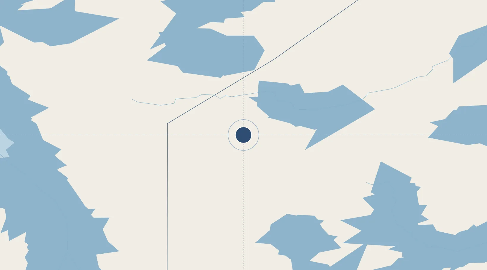
52.6556°, -94.0612°
3,500 ft
Longest runway
1
Runways
1,092 ft
Elevation
Runway & Layout

Runways · 1
| Runway | Dimensions | Surface | True heading | Lit |
|---|---|---|---|---|
| 13/31 | 3,500 × 100ft | GRVL | — | — |
Airport Specifications
IATA code
YVZ
ICAO code
CYVZ
Airport class
Small airport
Scheduled service
Yes
Runway surface
GRVL
Served city
Deer Lake
Location
Nearby Logistics Neighbours
Airports
- 1Poplar Hill Airport62 km
- 2Sandy Lake Airport66 km
- 3North Spirit Lake Airport76 km
- 4Keewaywin Airport90 km
- 5Pikangikum Airport93 km
Cities
- 1Island Lake141 km
- 2Red Lake178 km
- 3Riverton275 km
- 4Pine Falls277 km
- 5Arborg293 km
Ports
- 1Thunder Bay583 km
- 2Grand Marais606 km
- 3Two Harbors650 km
- 4Duluth670 km
- 5Superior674 km
Trade Zones
- 1Winnipegs Centreport Canada374 km
- 2FTZ No. 259 Koochiching County487 km
- 3FTZ No. 103 Grand Forks572 km
- 4FTZ No. 051 Duluth668 km
- 5FTZ No. 267 Fargo678 km
DatabookThe Record of Consolidated Knowledge
Canada beyond logistics?