Small airport · Canada
Poplar Hill AirportCYHP
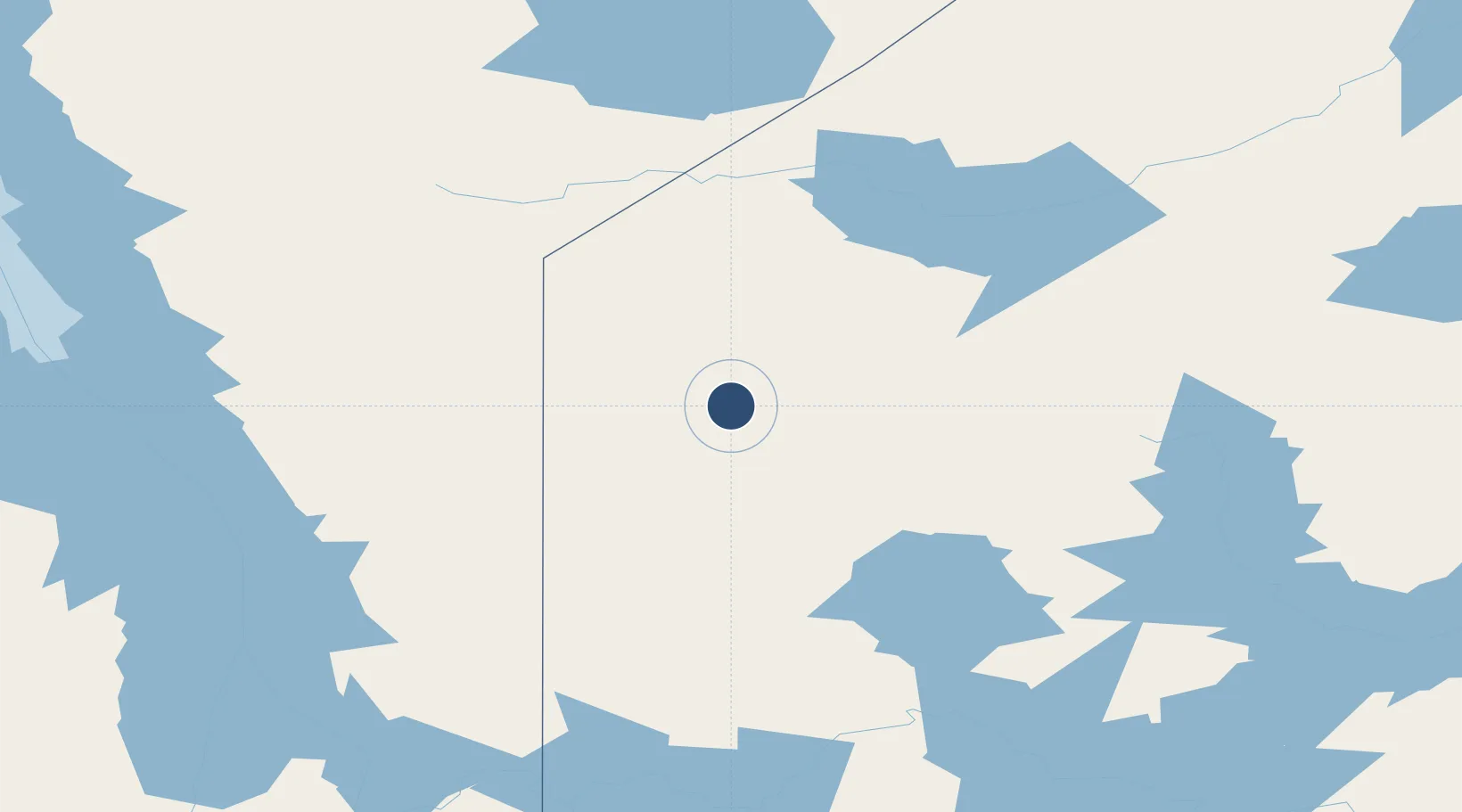
52.1133°, -94.2556°
3,500 ft
Longest runway
1
Runways
1,095 ft
Elevation
Runway & Layout

Runways · 1
| Runway | Dimensions | Surface | True heading | Lit |
|---|---|---|---|---|
| 13/31 | 3,500 × 100ft | CLAY/GRVL | — | — |
Airport Specifications
IATA code
YHP
ICAO code
CYHP
Airport class
Small airport
Scheduled service
Yes
Runway surface
CLAY/GRVL
Served city
Poplar Hill
Location
Nearby Logistics Neighbours
Airports
- 1Pikangikum Airport38 km
- 2Deer Lake Airport62 km
- 3North Spirit Lake Airport97 km
- 4Red Lake Airport121 km
- 5Sandy Lake Airport122 km
Cities
- 1Red Lake121 km
- 2Island Lake197 km
- 3Pine Falls221 km
- 4Riverton228 km
- 5Arborg246 km
Ports
- 1Thunder Bay546 km
- 2Grand Marais560 km
- 3Two Harbors597 km
- 4Duluth615 km
- 5Superior619 km
Trade Zones
- 1Winnipegs Centreport Canada319 km
- 2FTZ No. 259 Koochiching County427 km
- 3FTZ No. 103 Grand Forks511 km
- 4FTZ No. 051 Duluth612 km
- 5FTZ No. 267 Fargo617 km
DatabookThe Record of Consolidated Knowledge
Canada beyond logistics?