Medium airport · Canada
Sandy Lake AirportCZSJ
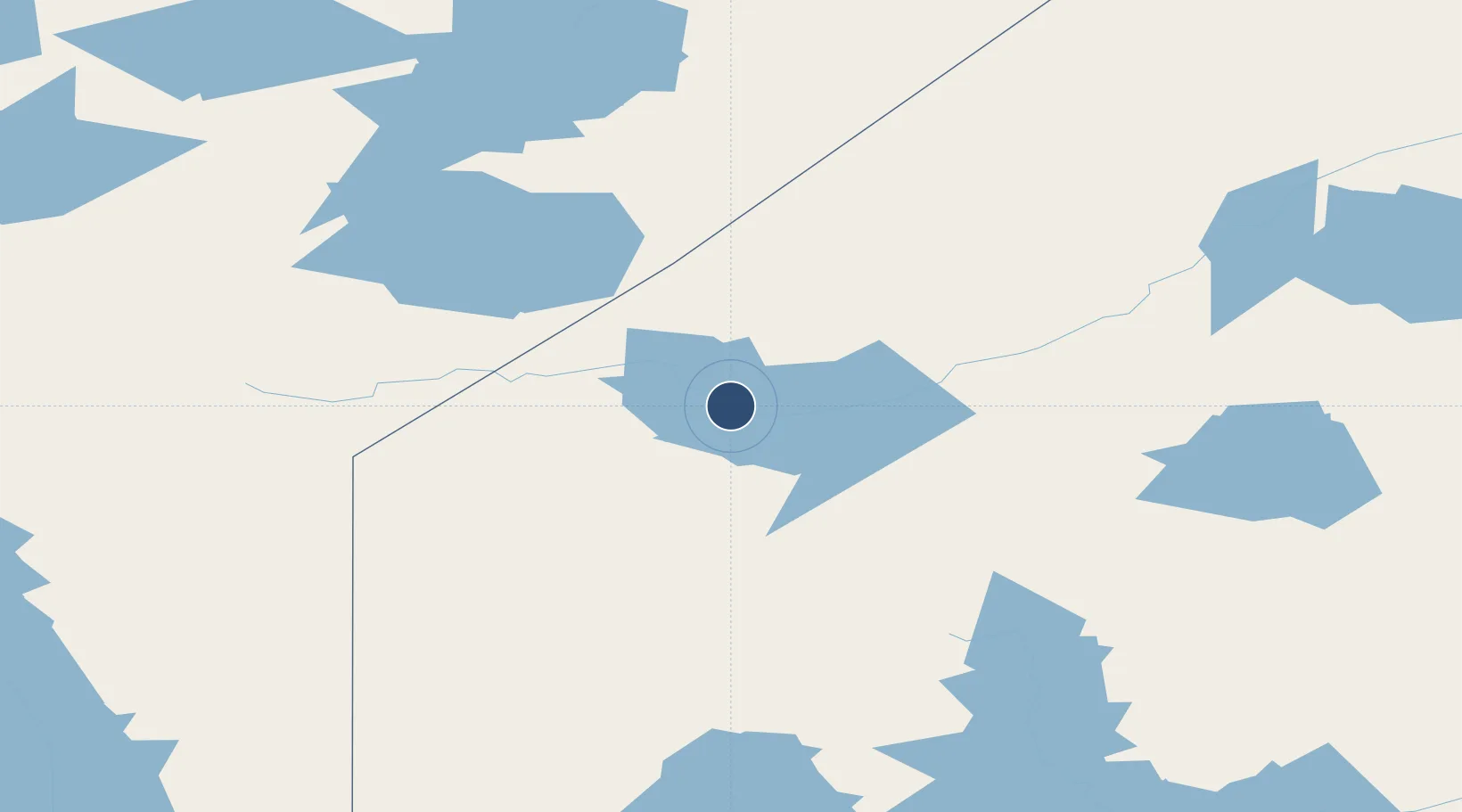
53.0642°, -93.3444°
3,500 ft
Longest runway
1
Runways
951 ft
Elevation
Runway & Layout

Navaids
ZSJ NDB Sandy Lake 258 kHz
Runways · 1
| Runway | Dimensions | Surface | True heading | Lit |
|---|---|---|---|---|
| 11/29 | 3,500 × 100ft | GRVL | — | — |
Airport Specifications
IATA code
ZSJ
ICAO code
CZSJ
Airport class
Medium airport
Scheduled service
Yes
Runway surface
GRVL
Served city
Sandy Lake
Location
Nearby Logistics Neighbours
Airports
- 1Keewaywin Airport35 km
- 2Deer Lake Airport66 km
- 3North Spirit Lake Airport69 km
- 4Muskrat Dam Airport113 km
- 5Sachigo Lake Airport119 km
Cities
- 1Island Lake125 km
- 2Red Lake224 km
- 3Riverton341 km
- 4Pine Falls342 km
- 5Arborg359 km
Ports
- 1Thunder Bay594 km
- 2Grand Marais628 km
- 3Churchill638 km
- 4Two Harbors683 km
- 5Heron Bay695 km
Trade Zones
- 1Winnipegs Centreport Canada439 km
- 2FTZ No. 259 Koochiching County537 km
- 3FTZ No. 103 Grand Forks633 km
- 4FTZ No. 051 Duluth705 km
- 5FTZ No. 267 Fargo737 km
DatabookThe Record of Consolidated Knowledge
Canada beyond logistics?