Small airport · Canada
Keewaywin AirportCPV8
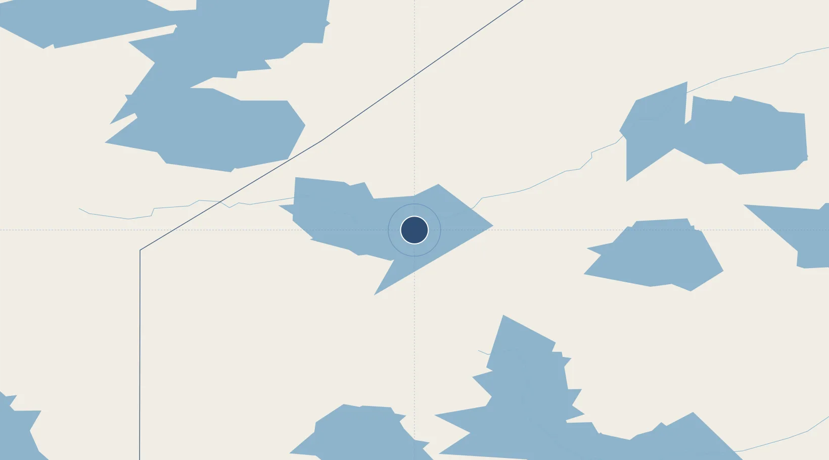
52.9911°, -92.8364°
3,500 ft
Longest runway
1
Runways
988 ft
Elevation
Runway & Layout

Runways · 1
| Runway | Dimensions | Surface | True heading | Lit |
|---|---|---|---|---|
| 13/31 | 3,500 × 100ft | GRVL | — | — |
Airport Specifications
IATA code
KEW
ICAO code
CPV8
Airport class
Small airport
Scheduled service
Yes
Runway surface
GRVL
Served city
Keewaywin
Location
Nearby Logistics Neighbours
Airports
- 1Sandy Lake Airport35 km
- 2North Spirit Lake Airport57 km
- 3Muskrat Dam Airport87 km
- 4Deer Lake Airport90 km
- 5Round Lake (Weagamow Lake) Airport102 km
Cities
- 1Island Lake156 km
- 2Red Lake224 km
- 3Pine Falls357 km
- 4Riverton362 km
- 5Arborg381 km
Ports
- 1Thunder Bay570 km
- 2Grand Marais609 km
- 3Churchill650 km
- 4Heron Bay665 km
- 5Two Harbors670 km
Trade Zones
- 1Winnipegs Centreport Canada455 km
- 2FTZ No. 259 Koochiching County534 km
- 3FTZ No. 103 Grand Forks642 km
- 4FTZ No. 051 Duluth694 km
- 5FTZ No. 267 Fargo744 km
DatabookThe Record of Consolidated Knowledge
Canada beyond logistics?