Transport Functions
Rail
Road
Hub Profile
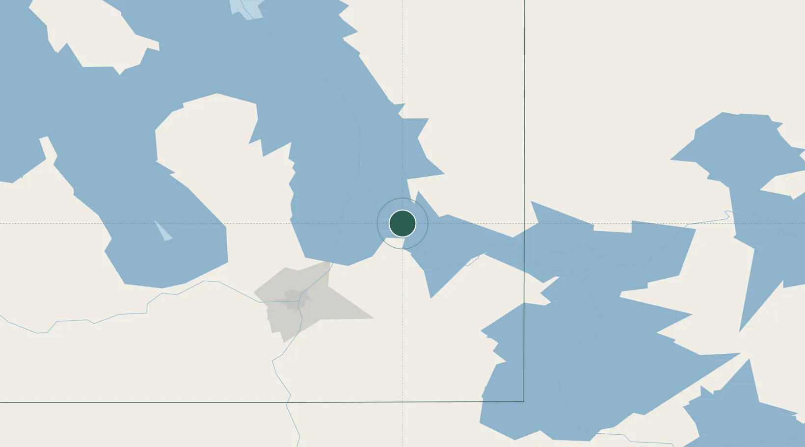
Place type
Populated place
Region
Manitoba
Population
632
Time zone
America/Winnipeg
Elevation
230 m
Location
Nearby Logistics Neighbours
Cities
- 1Libau47 km
- 2Beauséjour60 km
- 3Petersfield60 km
- 4Riverton73 km
- 5Lockport74 km
Ports
- 1Two Harbors516 km
- 2Duluth518 km
- 3Superior522 km
- 4Grand Marais529 km
- 5Thunder Bay558 km
Airports
Trade Zones
- 1Winnipegs Centreport Canada98 km
- 2FTZ No. 259 Koochiching County288 km
- 3FTZ No. 103 Grand Forks301 km
- 4FTZ No. 267 Fargo415 km
- 5FTZ No. 051 Duluth512 km
DatabookThe Record of Consolidated Knowledge
Canada beyond logistics?