Transport Functions
Rail
Road
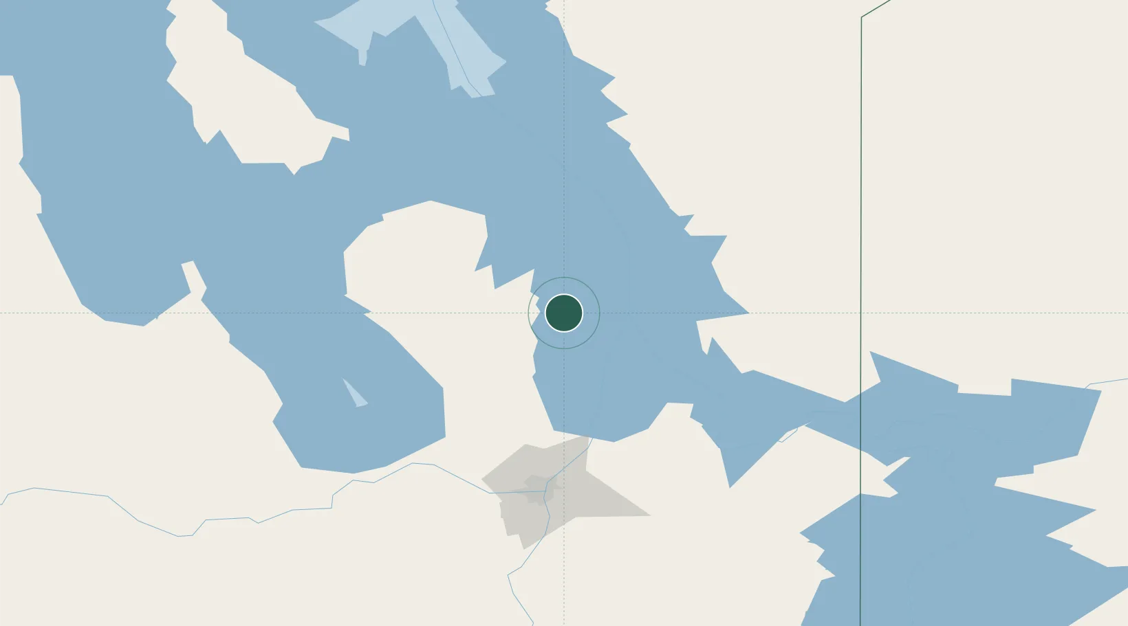
Hub Profile
Place type
Populated place
Region
Manitoba
Time zone
America/Winnipeg
Elevation
220 m
Location
Nearby Logistics Neighbours
Cities
- 1Arborg19 km
- 2Teulon69 km
- 3Pine Falls73 km
- 4Petersfield76 km
- 5Gunton77 km
Ports
- 1Two Harbors589 km
- 2Duluth590 km
- 3Superior594 km
- 4Grand Marais602 km
- 5Thunder Bay628 km
Airports
Trade Zones
- 1Winnipegs Centreport Canada121 km
- 2FTZ No. 103 Grand Forks341 km
- 3FTZ No. 259 Koochiching County358 km
- 4FTZ No. 267 Fargo459 km
- 5Global Transportation Hub Authority549 km
DatabookThe Record of Consolidated Knowledge
Canada beyond logistics?