Runway & Layout

Airport Specifications
IATA code
YLE
ICAO code
CEM3
Airport class
Small airport
Scheduled service
Yes
Served city
Whatì
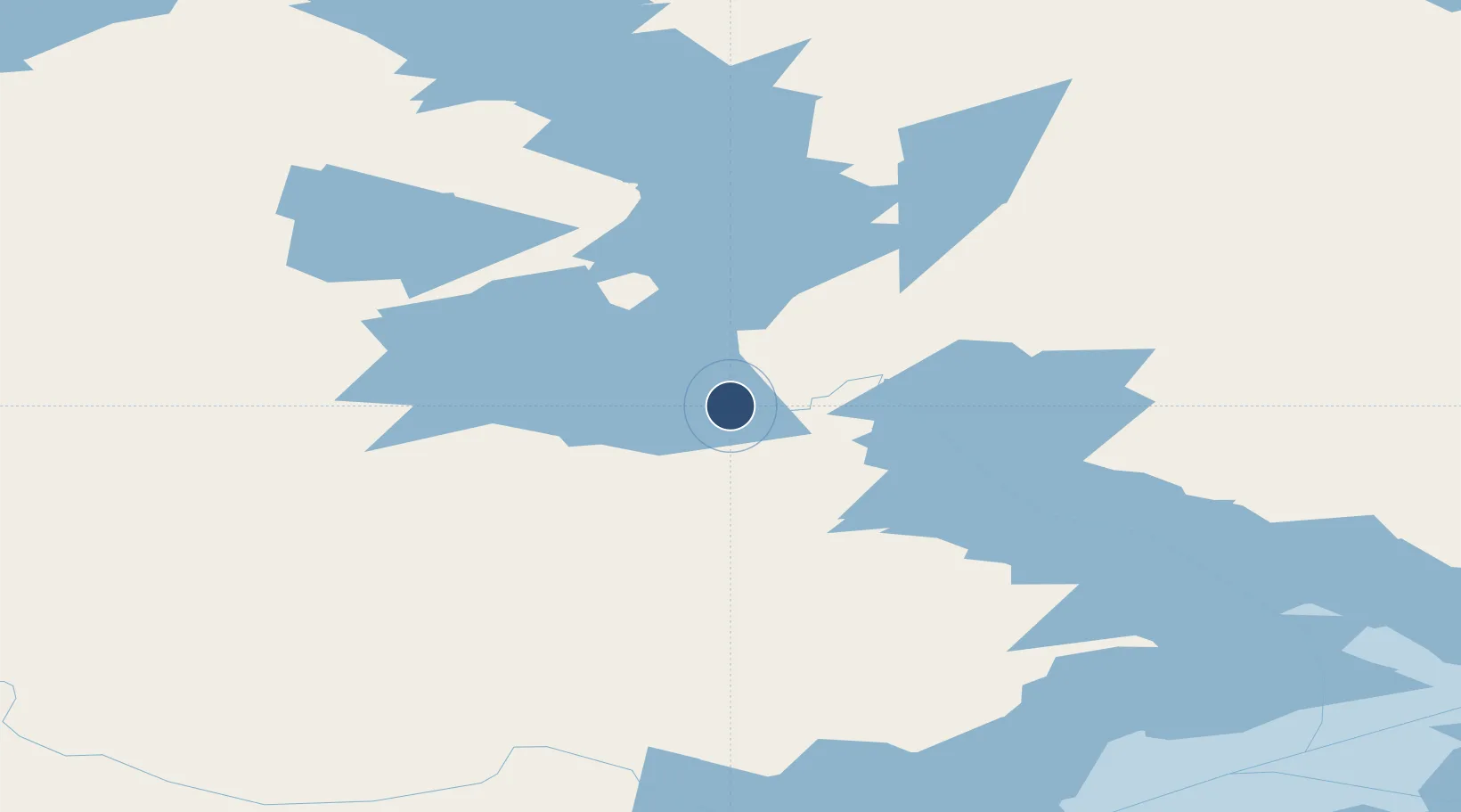
Location
Nearby Logistics Neighbours
Airports
- 1Rae Lakes Airport110 km
- 2Yellowknife International Airport161 km
- 3Wekweètì Airport196 km
- 4Fort Simpson Airport256 km
- 5Hay River / Merlyn Carter Airport266 km
Cities
- 1Fort Franklin376 km
- 2Kearl Lake691 km
- 3Fort MacKay730 km
- 4Grimshaw771 km
- 5Girouxville821 km
Trade Zones
- 1PrInce George Logistics Park1072 km
- 2Port Alberta - Edmonton FTZ1080 km
- 3Calgary Region Inland Port1357 km
- 4FTZ Vancouver Island1585 km
- 5Global Transportation Hub Authority1596 km
DatabookThe Record of Consolidated Knowledge
Canada beyond logistics?